Pages

Showing posts with label Peloncillo Mountains. Show all posts

Thursday, April 13, 2023

Moving into a New Time Zone

Wednesday, April 12, 2023

We are at Rusty's RV Ranch in Rodeo, NM. We have enjoyed three nights in this quiet place and tomorrow, Thursday morning, we will be moving again. We have stayed here in the past and each time have taken a ride into the Chiricahua Mountains that we can see in the distance. It is a lovely ride that takes you up through the mountains and over to the Chiricahua National Monument. We have enjoyed this ride in the spring and fall both times beautiful. 

The sun setting in the distance. It will soon slip behind the
Chiricahua Mountains.

There are three goats, a rooster and a chicken across the way.

After taking their picture I turned and took a picture of our site.
We have a firepit, picnic table and a nice clay tile patio.

Looking East as the sun set.


Tuesday, April 11, 2023

We could see the clouds coming over the mountains to the southwest late in the afternoon. Dark and ominous they brought wind and rain.


Still windy we did get some pretty color in the clouds 
after the sun slipped behind the mountains.


It rained on and off for several hours and the wind lasted well after dark. Though it was quiet when we woke up Wednesday morning.


How we got here:
Monday, April 10, 2023 ( The Ride to Our New Spot)

We did not pull out of Quail Ridge RV Resort until almost 11 o'clock this morning. The good news we only have about 120 miles to our next destination. The bad news we will lose an hour today. After leaving Quail Ridge we made a quick stop at Walmart to pick up a few extra groceries. This is going to be an interesting trek back to Michigan for us without a 
"toad" we can rely on. I know we will be just fine and figure it out as we go; what we will miss is the freedom to take side trips as we travel along. The decision has been made to tow the Jeep home and take care of it there so we will not be looking back and second guessing the decision. I am not sure what "Plan" we are on now but luckily there 26 letters in the alphabet...lol

As we approached Ft. Huachuca it looked like they were
bringing the Tethered Aerostat Radar System down.

Huachuca Mountains still have some snow on them.
We are now on AZ-92.

I believe these are the Mule Mountains in the distance.

We are driving along the southern edge of Bisbee.

Still passing by the outskirts of Bisbee, AZ

Now on AZ-80, this highway will take us all the 
way to today's destination.

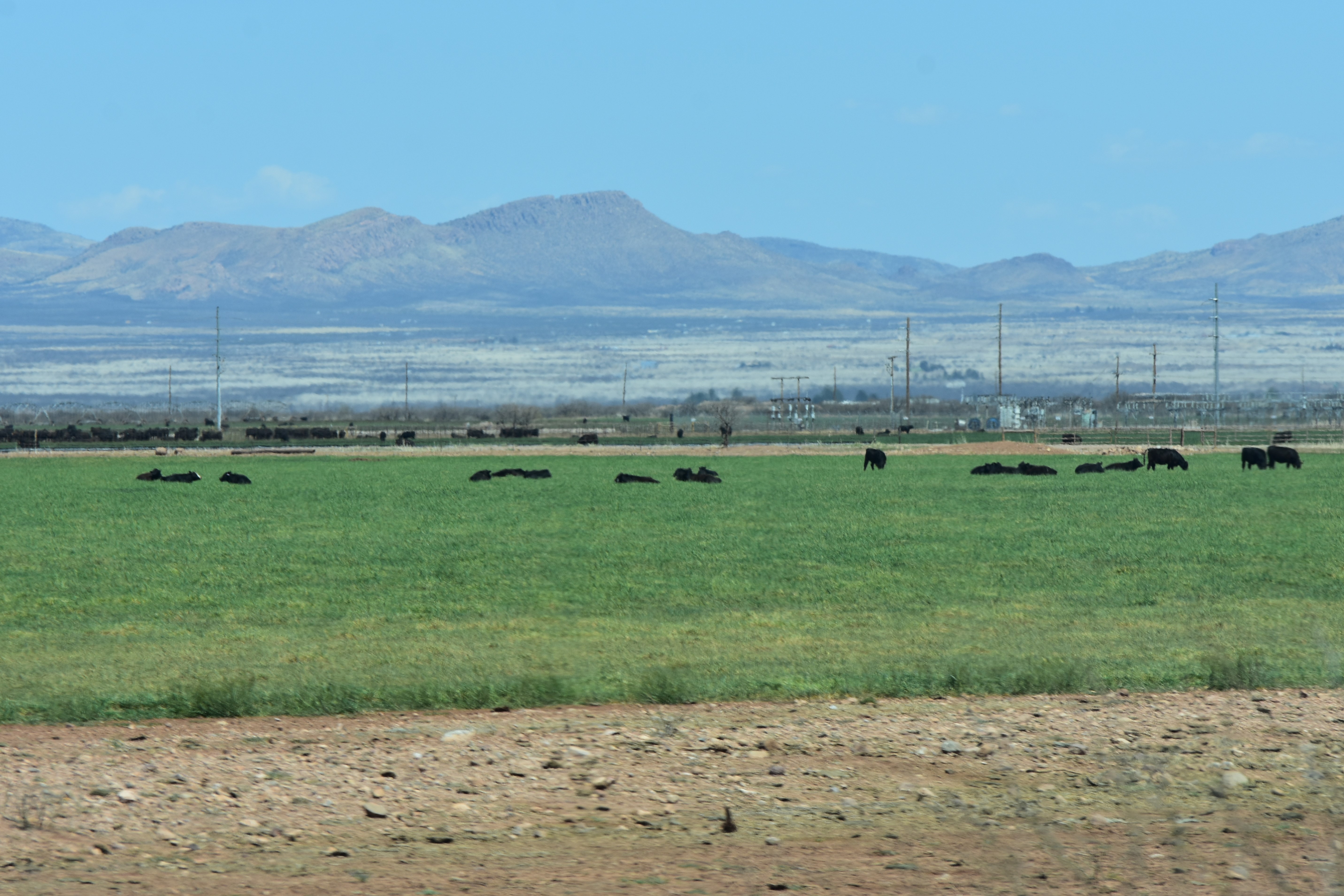
Cattle crazing on a sea of green.

Passing by Cochise College I spotted this semi.

We have entered Douglas, AZ and the "D" Hill is in the distance. 

Heading north on AZ-80.


I spotted a lot of these along the side of the highway today
and I have not idea what they are but they are pretty.

I am pretty sure we are now seeing the Chiricahua Mountains
in the distance.

These would be the Peloncillo Mountains off to our right.

Is that a face peeking over the hills.

We are also on Historic US-80

The Chiricahua Mountains.


A motorcycle rider pulled in just as we were going by the 
Geronimo Surrenders Monument.


A makeshift Border Patrol Inspection Station.

Then we crossed into New Mexico and lost an hour.
We are now on Mountain Daylight Time. 

Not long after the above sigh we arrived at Rusty's RV Ranch.

This will be home for three nights.


Thursday, April 6th through Sunday, April 9th, 2023

Looking back at the time we spent at Quail Ridge RV Resort there are no complaints. It is a nice stop and we have always enjoy our time here.  We had originally planned 8 nights which ended up expanding to 16 for the reasons I have mentioned in previous post. 

We did get the driver's side airbag replaced on Friday, April 7th, so that was very good news. As I mentioned in a previous post there was a problem securing one from Freightliner but Jonathan Smith the young man who did the work for us was able to find one. He and another young man, who works for him, arrived Friday morning to put it in but had an issue with one of their tools and had to go back to his shop in Benson to secure a new one. Even with this unexpected delay in about three hours we had a new working airbag. (Side note:  A few years ago we had a similar problem and ended up at a shop in Tucson where we had to have both front airbags replaced. We had to bring our motorhome there two mornings through Tucson traffic and it took two long days to replace the two airbags. We now question what they were doing all that time.) Back to the present, the work we had done was by Jonathan Smith his shop is Pitstop Auto and Mobile Repair in Benson, AZ. The really nice part was he came to us. If you are ever in this area and need work done we would highly recommend him. Plus, the price especially knowing what we paid last time was very reasonable. 

The sun setting on what was a good day. Our airbag is in and
Patsy and Bill got their truck back. Plus, we spent a wonderful
last Happy Hour with them for this Adventure.

This was our home at Quail Ridge RV Resort.

As I was writing this I realized I have no idea what we did on Thursday, April 6th or Saturday April 8th. I am going to guess they were both good days.

Easter Sunday, April 9, 2023

We woke up to beautiful blue skies on this Beautiful Easter Sunday. 

Mass was at 9 o'clock at this lovely little Mission Church just
down the road from where we are staying. We could see a
Deacon on the left and a Priest on the right
 waiting to start Mass as we walked up.

The altar area was filled with beautiful flowers.


After Mass we went back home had breakfast and we talked with our children and grandchildren. We spent part of the day packing up and getting ready to leave in the morning. 


Tom replanted the tiny Saguaros we found at a
shop in Tombstone. At the rate they grow this
 little pot will be there home for a few years. 
 

This was a good day!  


We are glad you stopped by!
If you have time to leave a comment we would enjoy hearing from you.

Saturday, November 28, 2020

A Ride Through Peloncillo Mountains ( Catch Up Post)

 Sunday, November 8, 2020

Today we took a ride that started just east of Douglas, Arizona on the Geronimo Trail at some point looking at the map it stopped being called that but honestly I have no idea where in these pictures that is. It was a really nice ride. The road was decent for the most part and we saw several pickup trucks along the way. Plus, we also saw people with tents, travel trailers and smaller 5th wheels boondocking. They were in some nice spots but it would not be a road we would take out motorhome down. If someone would want to park along here we would suggest you start in Animas heading south and check it out for yourself.  

Fair warning a lot of pictures. I eliminated quite a few but these all needed to stay.

We have just left Rusty's looking towards the west 
towards the Chiricahua Mountains.

The first time we took a ride into Douglas they were working
on a foundation. Today this was there.

The ever present Border Patrol

There was a wind and we could see the dust against 
the mountains in the distance.

Lots of Ocotillo up the hill.

We turned East just as we came into Douglas and headed out. Some of the pictures below are the same or very similar to the last post. The first mountains we came to were the Perilla Mountains.

The name Perilla is of course Spanish. It derives from pera which is the word for pear (the fruit), so perilla in its truest sense means pear-shaped.

In the southeast corner of Arizona, hard by the Mexican border and only 23 miles from the state of New Mexico, sits a small mountain range known as the Perilla Mountains. There’s not much to it – only 11 miles long and boasting a dozen peaks – it runs north-south. It actually crosses briefly into old Mexico for a mile or so before grinding to a halt at Mexican National Highway 2. All of Perilla’s peaks top 5,000 feet, while its highest, College Peaks in the north, exceed 6,000. (Information found on Internet)


I just liked the shape of the cloud.


This is a well used road with the trucks and equipment
going back and forth connected to the border wall construction.
Yet this guy just hangs in there.

We could see traffic in Mexico from this vantage point.


Pretty sure these are the Guadalupe Mountains in the distance.


The Guadalupe Mountains (SpanishSierra de Guadalupe) are a mountain range located in West Texas and southeastern New Mexico. The range includes the highest summit in Texas, Guadalupe Peak, 8,751 ft (2,667 m), and the "signature peak" of West Texas, El Capitan, both of which are located within Guadalupe Mountains National Park. The Guadalupe Mountains are bordered by the Pecos River valley and Llano Estacado to the east and north, Delaware Mountains to the south, and Sacramento Mountains to the west.

The Guadalupe Mountains of Hidalgo County in New Mexico are a short sub-range, and about 13 mi long, north to south. The range narrows southwards, with Guadalupe Canyon in the center-west of the south section, with Guadalupe Creek traversing due south. The Canyon then turns due west to have its outlet in Arizona.

The north end of the range contains the highpoint of Guadalupe Mountain in the center west. It is the origin of Guadalupe Creek's headwaters flowing due southeast and south; directly northwest, north, and east of Guadalupe Mountain are the headwaters of Cloverdale Creek. (Information found on the Internet)

Some where along this stretch we passed a road called Guadalupe Canyon Road. Knowing how long the ride like we were on usually takes we knew today was not the day for a detour. Today's planned trip was about 78 miles and when you are averaging between 15 to 30 miles per hour a side trip, if I remember correctly the sign said 34 miles and that would be each way, could not be added. It is on the list for next time.  


The Peloncillo Mountains form a long arc from just south of the Mexican border to near Clifton in Greenlee County, Arizona, a distance of about 100 miles. The mountains are relatively dry and low-lying, but they are the only range in the Sky Islands that form a continuous connection from the Sierra Madre in Mexico to the Mogollon Rim of central Arizona, providing a meshing of diverse habitats from subtropical to temperate and an important regional wildlife corridor. The southern part of the mountain range is managed as part of the Coronado National Forest. (Information found on Internet)

Something I found interesting as I was reading a little about the Peloncillo Mountains is we actually ride through a part of this mountain range on I-10 as we are leaving New Mexico and crossing into Arizona.


We went over a lot of cattle guards today.


This is not man made and it stretched as far as we
could see to the south of us.

Ocotillo and Prickly Pear Cactus a nice combination.

The sign said slow for a residential area
but the buildings looked abandoned.

This guy and a few friends were the only residents we saw.


I hope I have this collage in the right place.


Even a little bit of color today.


When we left Rusty's to take this ride we were in New Mexico.
We crossed into Arizona a few miles down the road and  then
we started down the Geronimo Trail in Arizona. 
This marker is the state line and we are back in New Mexico.


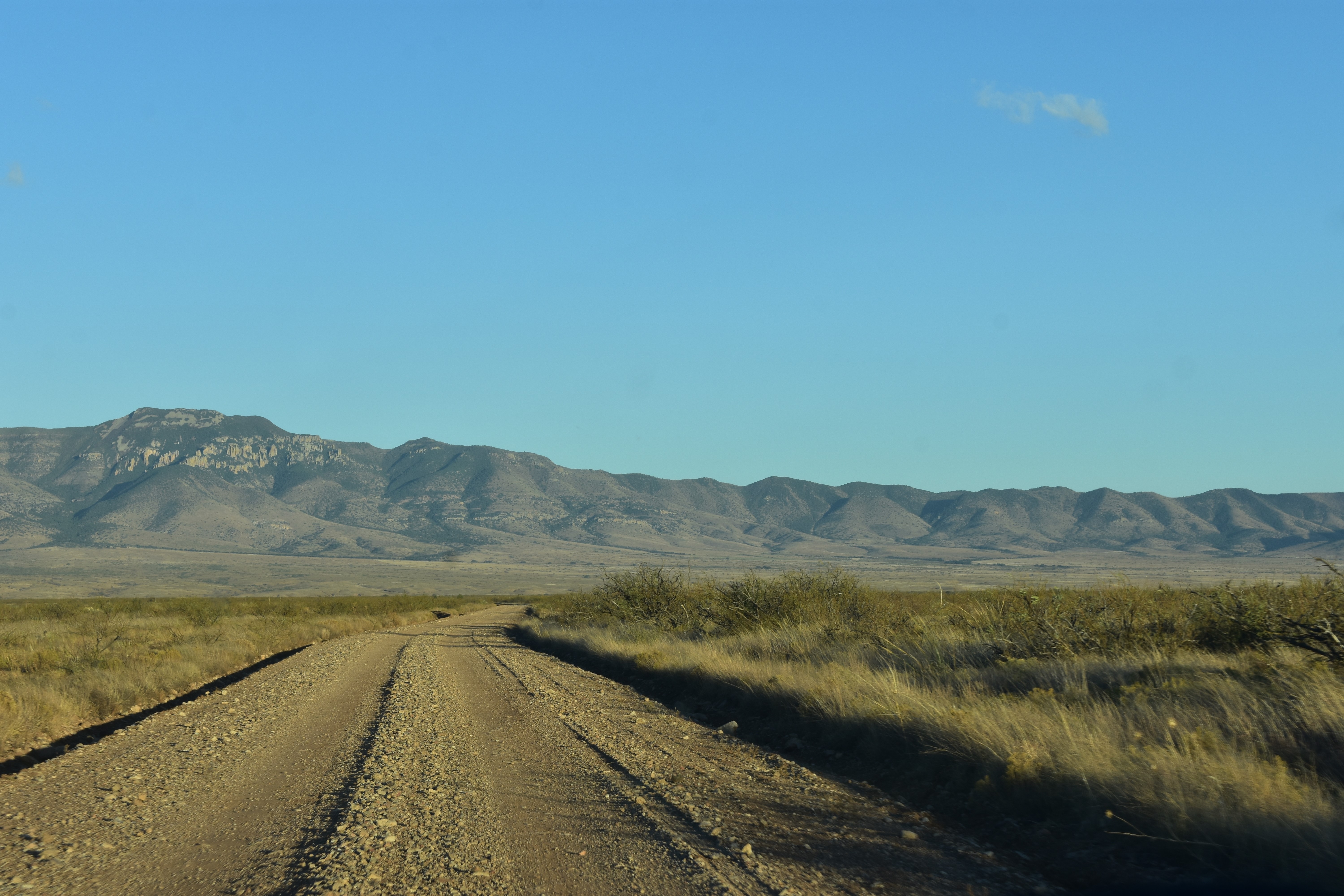
For the most part today's ride was between the mountains

and then we went up

and back down.


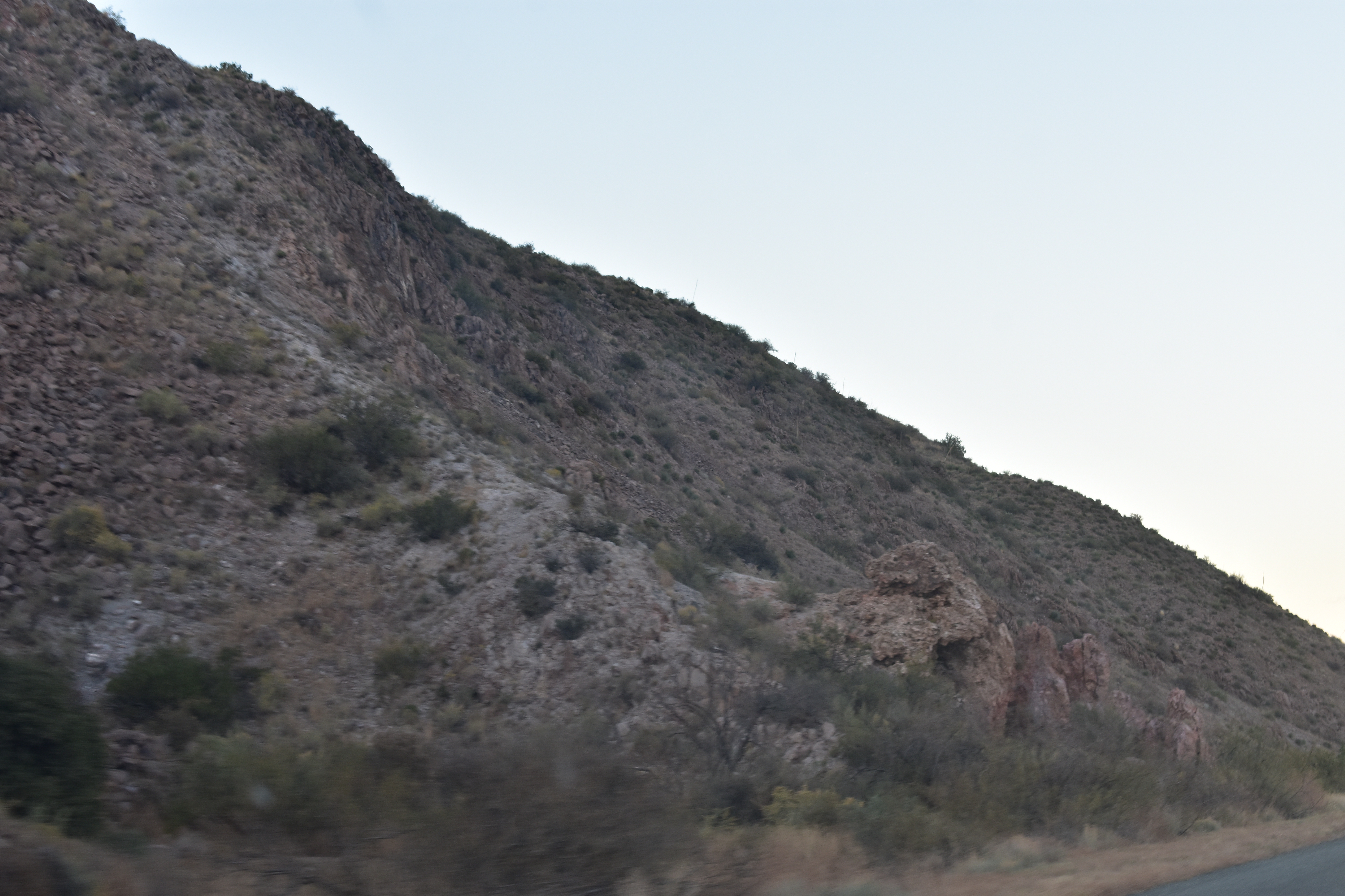
Then we up overlooking the beauty below.
Nothing really hair raising today. Just a pleasant ride.


A few times we saw campers in RV's and tents.

We are guessing they made there way in from the north
just because the road at that end was better.

Some beautiful areas to park. 
Though we did see fenced in areas that were posted.


At this point we saw a few mailboxes on the road.
Again there were some fences and the land was posted.

It was strange at this point looking ahead because the road
looked like it went straight into the mountains.

Logically you know it must turn and by this point it did.

The thing is we have been on back roads that did go
straight into the mountain with no way through and
turning around was our only option. 

Today that was not the case and

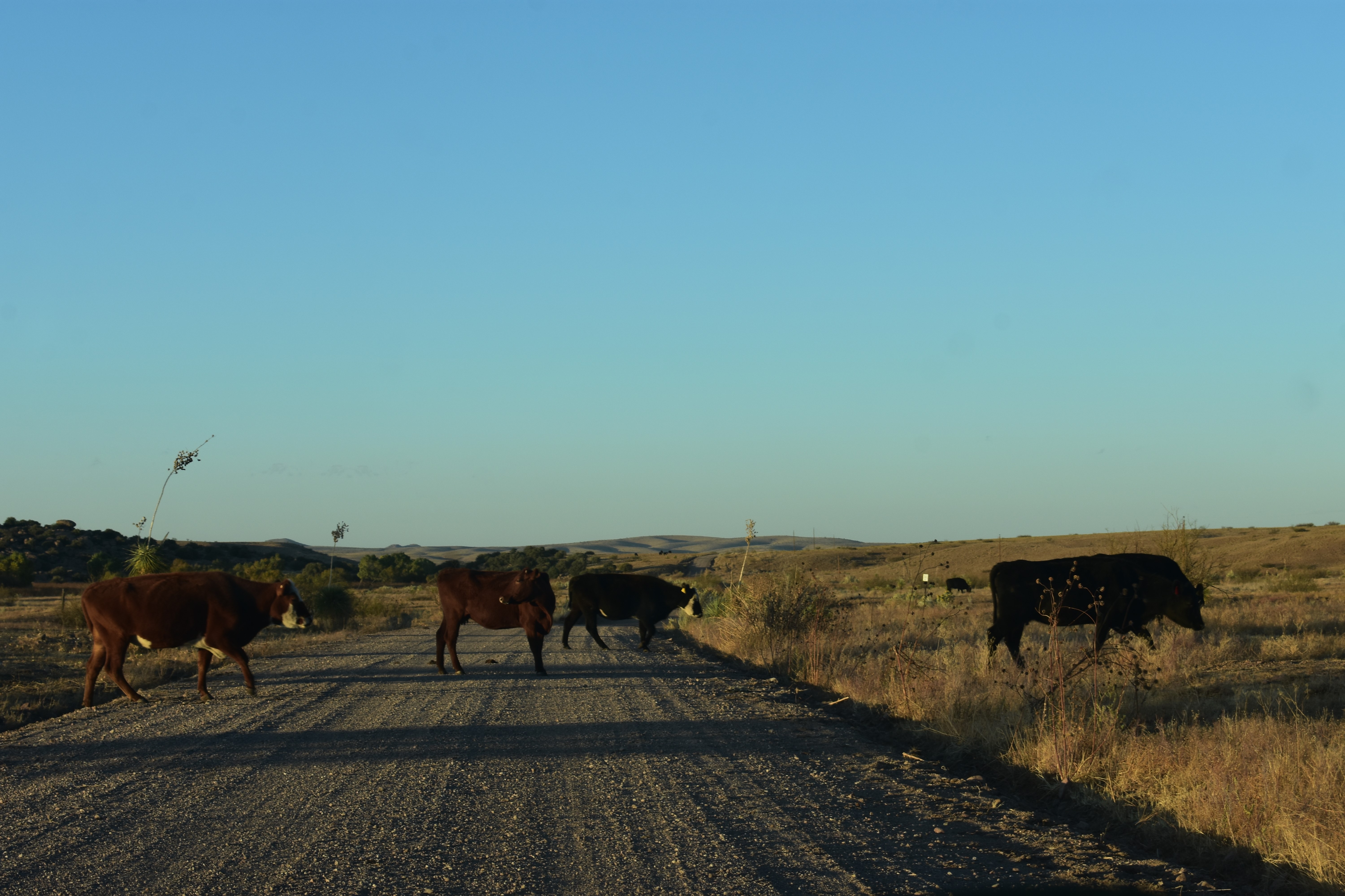
as you can see we encountered cattle.

Nicely posing.

None were in a hurry to cross the road.


We are getting close to Animas at this point and the sun
is setting quickly.


The colors on the mountains

was beautiful and there was a pink glow above them

in the sky. I was pleasantly surprised it showed up

in the pictures.


We ended today's ride at Animas. At this point we are NM-9 with about 17 miles to go before we get home. The dark of night was descending fast and we pulled back in to the inky black of the night.


Random Pictures

I found these following pictures in my Phone Camera Gallery when I was deleting pictures today. Not in any order just did not want to get rid of them.


One of two beautiful trees on our site.
We watched a lot of birds fly in and out.

Our First Campfire this Adventure.

This picture and the one below are of some of the views

between Rusty's RV Ranch and Douglas, Arizona.

The afterglow on October 24, 2020 


So that catches me up for now. My hope is to stay in real time for the rest of  Our Seventh Adventure. Of course, that is always my hope. Maybe this year I will accomplish it going forward. 


We are glad you stopped by!
If you have time to leave a comment we would enjoy hearing from you.