Sunday, November 8, 2020
Today we took a ride that started just east of Douglas, Arizona on the Geronimo Trail at some point looking at the map it stopped being called that but honestly I have no idea where in these pictures that is. It was a really nice ride. The road was decent for the most part and we saw several pickup trucks along the way. Plus, we also saw people with tents, travel trailers and smaller 5th wheels boondocking. They were in some nice spots but it would not be a road we would take out motorhome down. If someone would want to park along here we would suggest you start in Animas heading south and check it out for yourself.
Fair warning a lot of pictures. I eliminated quite a few but these all needed to stay.
 |
We have just left Rusty's looking towards the west
towards the Chiricahua Mountains. |
 |
The first time we took a ride into Douglas they were working
on a foundation. Today this was there. |
 |
The ever present Border Patrol
|
 |
There was a wind and we could see the dust against
the mountains in the distance. |
 |
Lots of Ocotillo up the hill.
|
We turned East just as we came into Douglas and headed out. Some of the pictures below are the same or very similar to the last post. The first mountains we came to were the Perilla Mountains.
The name Perilla is of course Spanish. It derives from pera which is the word for pear (the fruit), so perilla in its truest sense means pear-shaped.
In the southeast corner of Arizona, hard by the Mexican border and only 23 miles from the state of New Mexico, sits a small mountain range known as the Perilla Mountains. There’s not much to it – only 11 miles long and boasting a dozen peaks – it runs north-south. It actually crosses briefly into old Mexico for a mile or so before grinding to a halt at Mexican National Highway 2. All of Perilla’s peaks top 5,000 feet, while its highest, College Peaks in the north, exceed 6,000. (Information found on Internet)
 |
I just liked the shape of the cloud.
|
 |
This is a well used road with the trucks and equipment
going back and forth connected to the border wall construction.
Yet this guy just hangs in there. |
 |
We could see traffic in Mexico from this vantage point.
|
 |
| Pretty sure these are the Guadalupe Mountains in the distance. |
The Guadalupe Mountains of Hidalgo County in New Mexico are a short sub-range, and about 13 mi long, north to south. The range narrows southwards, with Guadalupe Canyon in the center-west of the south section, with Guadalupe Creek traversing due south. The Canyon then turns due west to have its outlet in Arizona.
The north end of the range contains the highpoint of Guadalupe Mountain in the center west. It is the origin of Guadalupe Creek's headwaters flowing due southeast and south; directly northwest, north, and east of Guadalupe Mountain are the headwaters of Cloverdale Creek. (Information found on the Internet)
Some where along this stretch we passed a road called Guadalupe Canyon Road. Knowing how long the ride like we were on usually takes we knew today was not the day for a detour. Today's planned trip was about 78 miles and when you are averaging between 15 to 30 miles per hour a side trip, if I remember correctly the sign said 34 miles and that would be each way, could not be added. It is on the list for next time.
The Peloncillo Mountains form a long arc from just south of the Mexican border to near Clifton in Greenlee County, Arizona, a distance of about 100 miles. The mountains are relatively dry and low-lying, but they are the only range in the Sky Islands that form a continuous connection from the Sierra Madre in Mexico to the Mogollon Rim of central Arizona, providing a meshing of diverse habitats from subtropical to temperate and an important regional wildlife corridor. The southern part of the mountain range is managed as part of the Coronado National Forest. (Information found on Internet)
Something I found interesting as I was reading a little about the Peloncillo Mountains is we actually ride through a part of this mountain range on I-10 as we are leaving New Mexico and crossing into Arizona.
 |
We went over a lot of cattle guards today.
|
 |
This is not man made and it stretched as far as we
could see to the south of us. |
 |
Ocotillo and Prickly Pear Cactus a nice combination.
|
 |
The sign said slow for a residential area
but the buildings looked abandoned.
|
 |
| This guy and a few friends were the only residents we saw. |
 |
I hope I have this collage in the right place.
|
 |
Even a little bit of color today.
|
 |
When we left Rusty's to take this ride we were in New Mexico.
We crossed into Arizona a few miles down the road and then
we started down the Geronimo Trail in Arizona.
This marker is the state line and we are back in New Mexico. |
 |
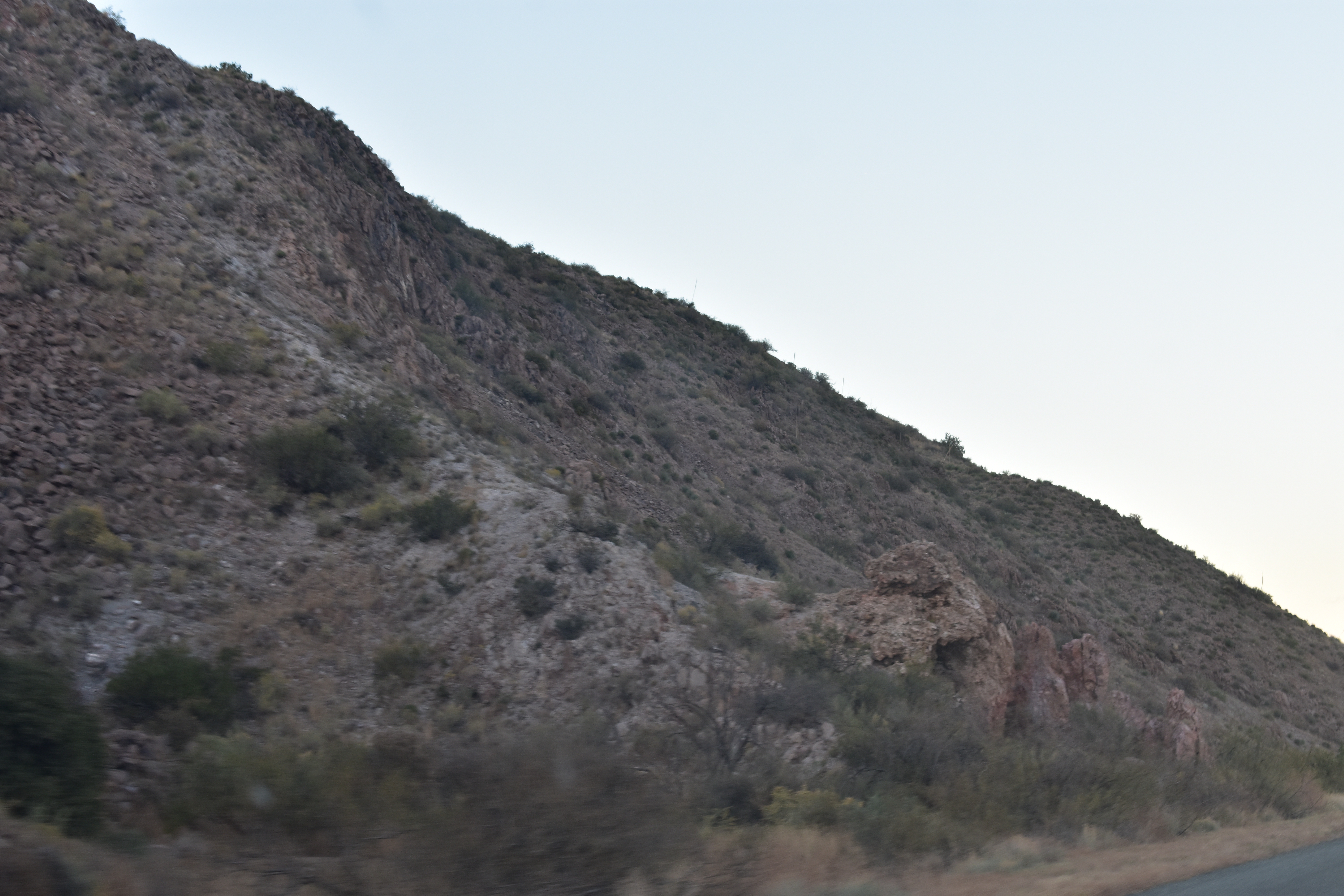
For the most part today's ride was between the mountains
|
 |
and then we went up
|
 |
and back down.
|
 |
Then we up overlooking the beauty below.
Nothing really hair raising today. Just a pleasant ride. |
 |
| A few times we saw campers in RV's and tents. |
 |
We are guessing they made there way in from the north
just because the road at that end was better. |
 |
Some beautiful areas to park.
Though we did see fenced in areas that were posted. |
 |
At this point we saw a few mailboxes on the road.
Again there were some fences and the land was posted. |
 |
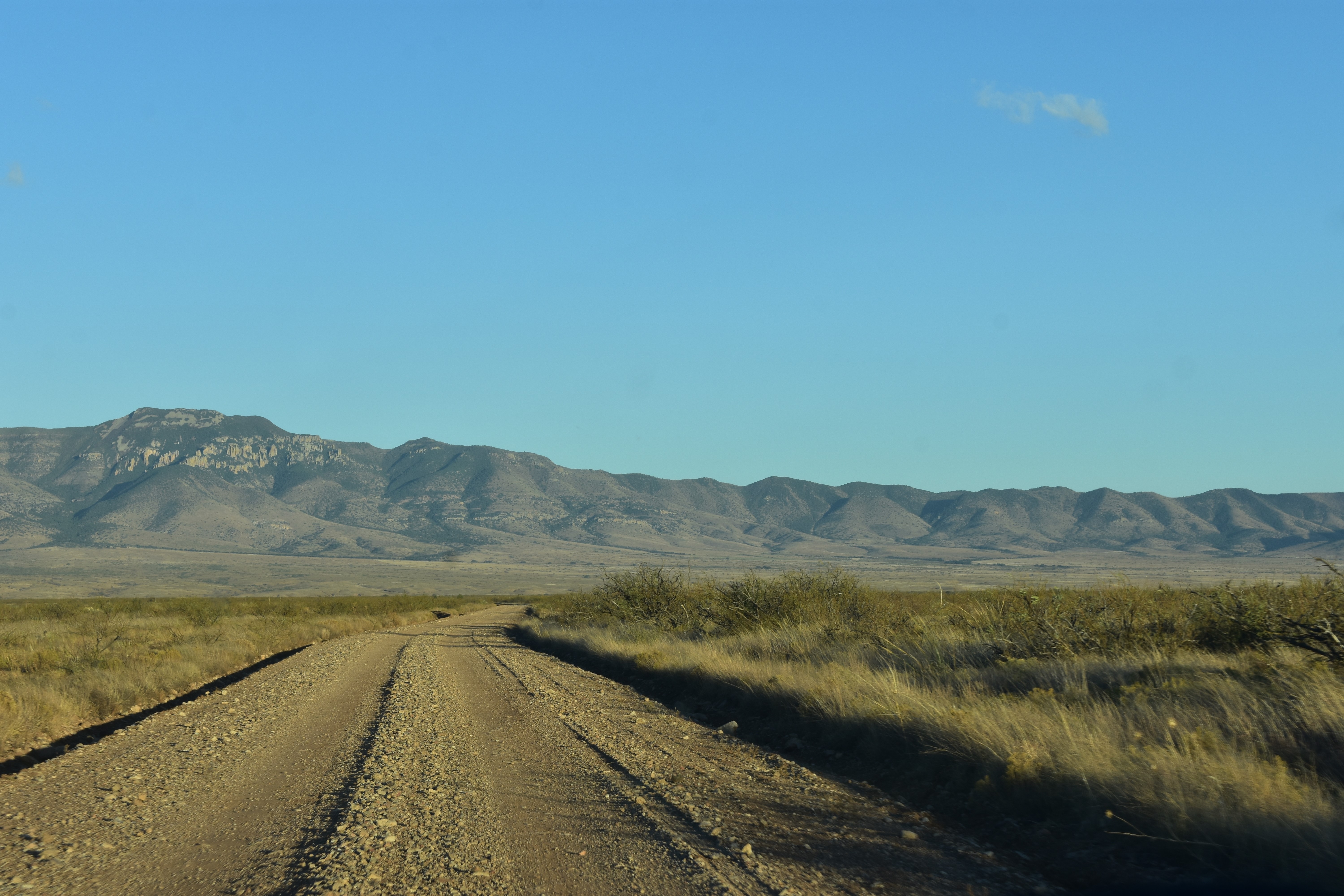
It was strange at this point looking ahead because the road
looked like it went straight into the mountains. |
 |
Logically you know it must turn and by this point it did.
|
 |
The thing is we have been on back roads that did go
straight into the mountain with no way through and
turning around was our only option. |
 |
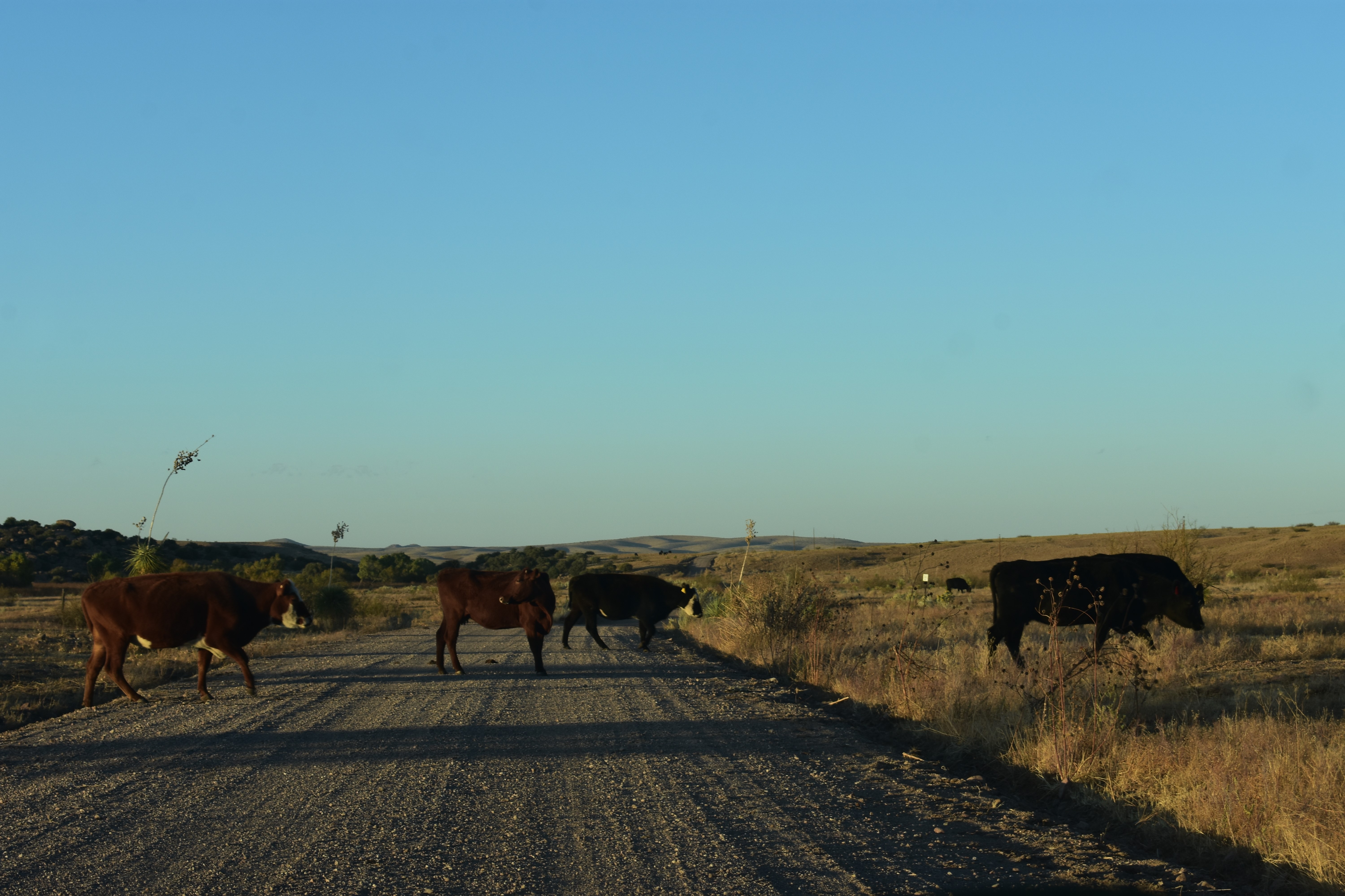
Today that was not the case and
|
 |
as you can see we encountered cattle.
|
 |
| Nicely posing. |
 |
None were in a hurry to cross the road.
|
 |
We are getting close to Animas at this point and the sun
is setting quickly. |
 |
The colors on the mountains
|
 |
was beautiful and there was a pink glow above them
|
 |
in the sky. I was pleasantly surprised it showed up
|
 |
in the pictures.
|
We ended today's ride at Animas. At this point we are NM-9 with about 17 miles to go before we get home. The dark of night was descending fast and we pulled back in to the inky black of the night.
Random Pictures
I found these following pictures in my Phone Camera Gallery when I was deleting pictures today. Not in any order just did not want to get rid of them.
 |
One of two beautiful trees on our site.
We watched a lot of birds fly in and out. |
 |
Our First Campfire this Adventure.
|
 |
This picture and the one below are of some of the views
|
 |
between Rusty's RV Ranch and Douglas, Arizona.
|
 |
The afterglow on October 24, 2020
|
So that catches me up for now. My hope is to stay in real time for the rest of Our Seventh Adventure. Of course, that is always my hope. Maybe this year I will accomplish it going forward.
We are glad you stopped by!
If you have time to leave a comment we would enjoy hearing from you.


My beloved Southwest. You take such gorgeous pictures of this land I love. We love taking drives out into the middle of nowhere just to see.
ReplyDeleteThank you for the wonderful compliment. It is easy to take decent pictures when the scenery is gorgeous. Taking a road we have never been down is always fun. Even the times we have had to turn around. Stay safe.
DeleteIt is definitely beautiful country. Surprising that there are so many dirt roads all over. Hope you are "prepared" just in case you run into someone. It's easy to see why the Indians liked it there.
ReplyDeleteI would have to agree it is beautiful country. Yes, we are always "prepared" just in case.
DeleteGreat Pictures as always. They bring back memories. I'm certain we traveled the highway through the Guadalupe and Coronado areas.
ReplyDeleteLooking forward to more adventures.
Be Safe and Enjoy!
It's about time.
Thank you, Rick. Pictures always bring back memories for me. I always find it interesting to see what others pick out as a highlight when they visit some place we have been. You and Kathy stay safe.
DeleteBeautiful pictures and how could they not be in such beautiful country! Nice there was so many places to take drives. Love the fire pictures!
ReplyDeleteThank you, I just said that to Sandie above it is easy to take pictures when the scenery is gorgeous. Hugs
DeleteSo much to see..... beautiful.
ReplyDeleteElva, you are absolutely right on both counts. Especially the beautiful part. We live in a beautiful county.
DeleteSo pretty, what a great drive, thanks for sharing.
ReplyDeleteYou are welcome and it was a nice way to spend an afternoon.
Delete