Pages

Showing posts with label AZ-90. AZ-80. Show all posts

Monday, November 23, 2020

Visiting Sierra Vista in Arizona Not Once but Twice (catch up post)

 Sunday, November 22, 2020

Saturday Tom decided to give the Stinger "B" a good washing along with the Jeep. Today he started the waxing.  Last week he did the roof and waxed it so hopefully if it rains we will not have any white streaks coming down. Not that I am hoping for rain. While Tom was outside doing that yesterday I did some reorganizing in the storage under our bed. I have now finished two of my crocheting projects and needed to get yarn out for the next two plus re-arrange things to get everything back under. Then I just did a few other necessary cleaning chores inside. Today I started on the next two crocheting projects. That was our  last two days nothing extraordinary but it does not need to be to be a day lived and enjoyed.

I had mentioned in a previous blog post we took three rides while we were staying in New Mexico. This catch up post contains the pictures of the two times, October 29th and October 31st,  we drove to Sierra Vista and back. Though the views especially between Bisbee and Sierra Vista are beautiful these trips are not what I would call going for a ride. When we say we are going for a ride it means we are heading out to explore a trail, check out the views, maybe see a particular site that might be historical or something that sounds interesting. Yes, there is a destination in mind but the stops along the way are usually frequent and part of the whole day. These two rides where not about that they were strictly about the destination.

Tom had been doing some research on a particular item he wanted to purchase and where he could make the purchase for several months. A day before we took this trip he found two of what he was looking for available in Sierra Vista. After checking things out he became the owner of  a Winchester 94 rifle and is a happy man. Since, we were there we also made a stop at the Fry's to pick up some groceries, and stopped at Walgreens for a prescription. Our second trip was because some accessories for his purchase came in that he needed. The second trip was strictly a there and back trip.


I took this October 30th from our patio.
Not a bad view at all.

Thursday, October 29, 2020

It was one of those days for me and I did not pick up the camera until we were coming into Bisbee.

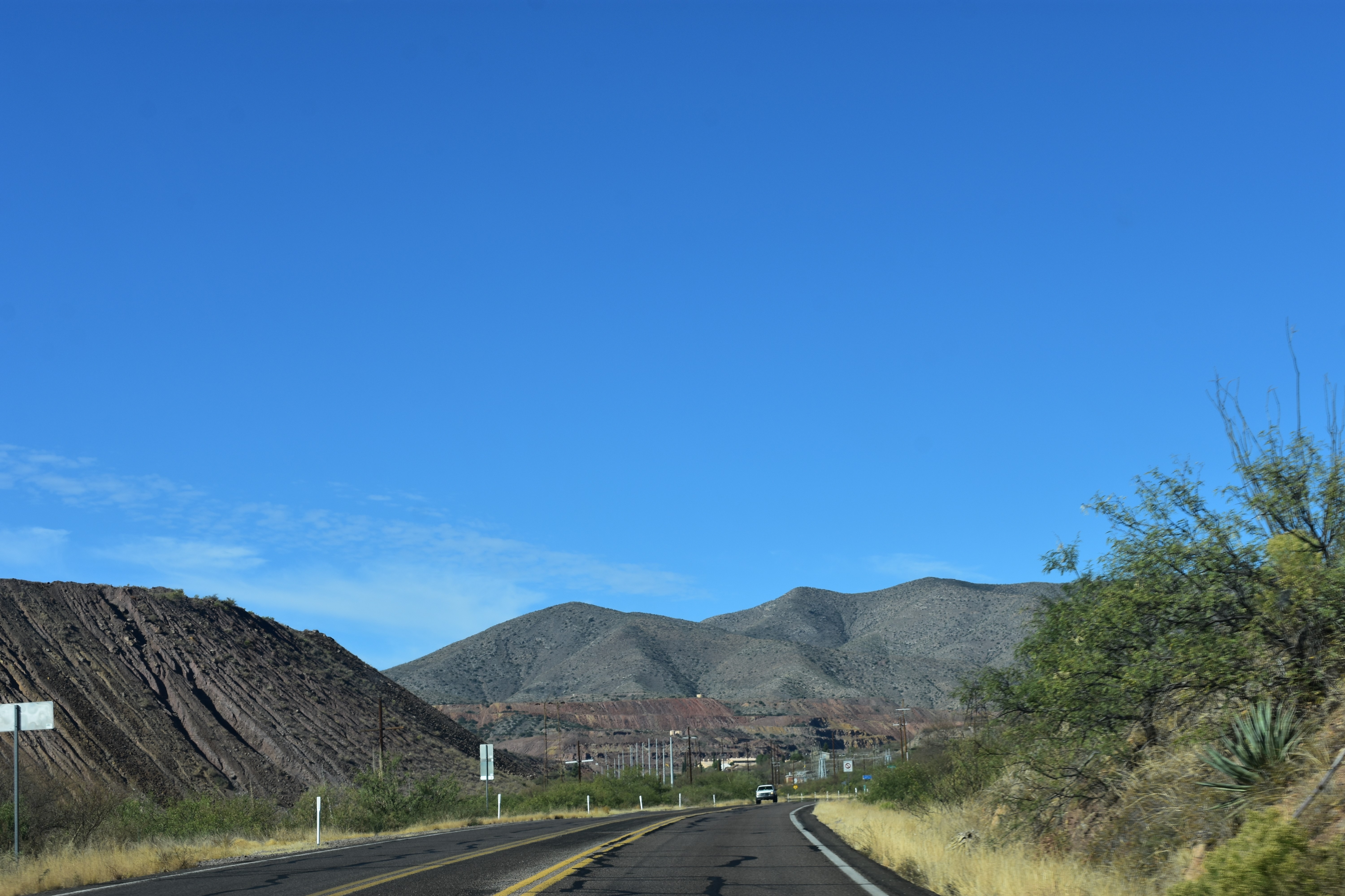

We know we are close when we see the Tailings from
the Open Copper Mine.


As we drive by here the Lavender Pit is on our left.
There is a spot to stop and check it out. 
We have stopped and taken pictures here several
times but not today.

Going by Bisbee.


Mule Pass Tunnel just ahead.


We have turned onto AZ-90
and we can see in the distance the ever present
Tethered Aerostat Radar System.


When we finished our errands in Sierra Vista we left on West Charleston Road which brought us into Tombstone were we connected with AZ-80. No reason just a different route we had never taken before.


Crossing the San Pedro River we could see another bridge on our right and after crossing we pulled into the parking lot. I noticed this monument and then we took a walk across the bridge.


Historical Marker 
This is the site of the Battle of the Bulls.

Curious about what The Battle of the Bulls was about  I looked it up and this is what I found: 

 In December 1846, the Mormon Battalion followed the San Pedro River north from the U.S. border with Mexico in what is now Cochise County, Arizona. On Dec. 11, the battalion had the only major “battle” in its journey when a number of wild bulls charged and a dusty, chaotic melee ensued.

At least three men of the battalion were injured, three mules were gored to death and some of the wagons were overturned. At least nine of the bulls were killed by members of the battalion.

Following the excitement, the group traveled along the San Pedro for a short while and camped for the night. 

The next question I had was, who were the Mormon Battalion and this is what I found: 

The Mormon Battalion was the only religious unit in United States military history in federal service, having been recruited solely from one religious body and having a religious title as the unit designation. The battalion was a volunteer unit of between 534 and 559 Latter-day Saint men, led by Mormon company officers commanded by regular U.S. Army officers. During its service, the battalion made a grueling march of nearly 2,100 miles from Council Bluffs, Iowa, to San Diego, California. The volunteers served from July 1846 – July 1847 during the Mexican–American War of 1846–1848. Wikipedia 

By clicking here Mormon Battalion you will find more information about this group.
(The above information was copied and pasted off of the internet.)


Walking across we noticed several padlocks attached
to the fence that people had left behind.


We can see Tombstone in the distance.

Coming into Tombstone, we will not be stopping today.


Continuing our journey home we turned onto Davis Road and then took US-191 which connected us to AZ-80 near Douglas. This is the route we ended up taking when we made our move to Arizona.


Saturday, October 31, 2020

Today we took another ride over to Sierra Vista and as I said above it was basically a drive there and drive back. Both ways were on AZ-80 and AZ-90.

Today I was waiting with camera in hand to get this
picture. This is the first time I have seen a sign 
warning to watch for animals for over a 100 miles.

Douglas in the distance.

The line of green means we are coming up
on the San Pedro River.
At this point we are headed back home.


Mule Mountain Pass Tunnel.
Completed in 1958 it took ten minutes off the drive
over the 6,030 foot high pass.

A little Christmas on the way.


Going  back by Bisbee today I caught the "B".

We always see this street, and the Greyhound Bus
when we are on the traffic circle going into Bisbee. 
Today we turned in to see what was there.

This is some of what we saw. One time when we have
more time we will have to stop, get out, and walk 
around. Not really sure what it is about. It looked like
there were a few things open. We saw people dressed 
to match the age of the vehicles not sure if that is all
the time or because it was Halloween.

We took the wrong turn off the traffic circle
and ended up in another area of Bisbee.
I wonder if this were the people who owned or ran
the mine lived.

Circling back out of the area above we are making
our way back to AZ-80.

Coming into Douglas I could see the sun setting
in my rearview mirror.

Soon we were back home at the quiet of Rusty's RV Ranch and the Stinger "B" .


We are glad you stopped by!
If you have time to leave a comment we would enjoy hearing from you.

Wednesday, March 27, 2019

A Ride to Bisbee and Tombstone Founder's Monument

(Clicking on the pictures will open them larger in a new window.)

Tuesday, March 26, 2019

Today was the day we set aside to take a drive to Bisbee. Tom was hoping to take the mine tour and I brought my kindle along so I could read while he did that. When we got there the first thing we noticed was a sign above the ticket booth that said, all sold out for the day. So this is not the year he will be doing the mine tour. He was a little disappointed but we moved on after picking up some brochures and looking around the gift shop. They had some nice things but the prices were a little high so we did not take anything with us. We ended up finding a parking spot on our third try and we were happy because it was right across the way from what will be our last stop here today.  After parking we were off to walk around a bit then find a place to stop for lunch.

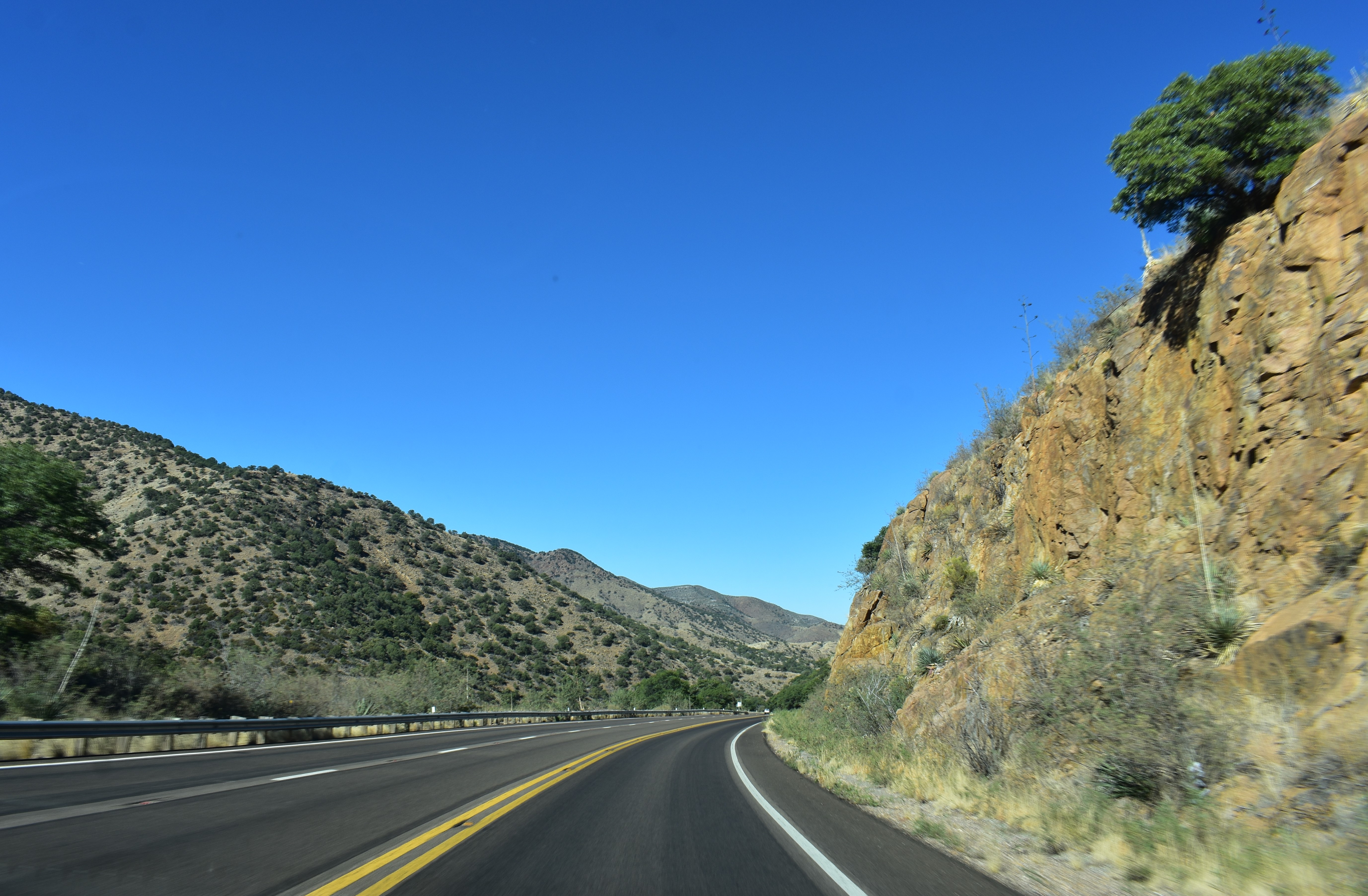
Heading toward Bisbee we have just turned on to AZ-90
and we can still see snow on the top of the Huachuca Mountains.
The tethered Aerostat B41 Blimp was flying high above.
(The little black mark in the upper left corner.)

Continuing on AZ-90 we have passed through Sierra Vista
and we can see green trees in the distance.

These trees line the San Pedro River

on both sides of the highway

and can be seen

way off into the distance.

The San Pedro River

We are continue down AZ-90

and there are quite a few Ocotillos

up the hill sides.

We have turned on to AZ-80 and I can still see the Ocotillos
beautiful even without their tiny green leaves.

We are driving through the Mule Mountains.


Looking towards the mountains we can see the different grasses 

that cover the ground. 

Plus, there are manzanita brush

juniper, lowland oak

and pine trees.

All adding to the beauty of the landscape out our window.

They cut through a lot of rock to built this highway.

Mule Pass Tunnel

There is the light at the end of the tunnel.

 
We can see buildings below and off to our left as we approach Bisbee.
Off in the distance is their "B" on the mountain peek.


This guy was not near this sign. In fact, later when we took a ride
up and down a couple of residential streets Tom had stopped to let some
cars pass us and up popped this face right next to my window.
I just thought his look and the sign went together.


One of two parking areas where we did not find a spot.
Nice art work along the cement retaining wall.

This is now a museum.
The sculpture on the right was sitting in a beautiful area of very green
grass. It smelled fresh mowed.


Mining equipment out in front of above building.

The picture in the middle was painted on a wall along the street.
The bottom left: there were various types of art on the wall along this
stairway. There was even some framed needlepoint.

Views down various streets.
The post office is pictured in the upper right.

Lunch at Bisbee's Table.
"X" marks the spot; we had a window seat.

More street views.

Our last stop was at the Old Bisbee Brewing Company.
Tom had a Classic Pilsner and I had a glass of Salut!

Our views, including the Jeep, as we enjoyed our beverages
on their upstairs patio.

We had not done a selfie in a while.

We then took a ride around Bisbee.

A Market named Mimosa deserves to have its picture taken.

I love all the lights above the street.

The Inn at Castle Rock.
This rock is across the road so I would think it is Castle Rock.


We stopped on the hill above Bisbee 

to take a couple more pictures.

A view of Castle Rock from above.

There is light at this end of the tunnel, also.

Headed back north on AZ-80


I just liked the way those trees looked on the mountain top.


We continued on AZ-80 towards Tombstone.


I am sure there is a name for this type of cloud.
I just liked it because it looked like a saucer.


The views all along here are beautiful.


We made a quick stop in Tombstone our last one this adventure.
I mentioned to Tom we needed  at least one picture.
He took one of his favorite stop in Tombstone.


As we left Tombstone we took a ride all the way down Toughnut Street, something we had never done before. Turning right and heading back to Allen Street we saw a sign for Tombstone Monument Ranch and Tombstone Monument. So we decided to take a ride. What we found is pictured below. Once, I started to write the blog I googled "Schieffelin Monument". I am sharing some of the information I found below.

Edward Lawrence Schieffelin was an Indian scout and prospector who discovered silver in the Arizona Territory, which led to the founding of Tombstone, Arizona. He partnered with his brother Al and mining engineer Richard Gird in a handshake deal that produced millions of dollars in wealth for all three men. During the course of Tombstone's mining history, about
US $85,000,000 in silver was produced from its mines.

In his will, he specified that he was to be buried in his prospector's garb with canteen and pick by his side near the site of his first camp. The grave marker was to be a simple stone cairn that prospectors used to mark claims. Tombstone's citizens complied with his wishes, save one; they erected the 25 ft. tall monument which is pictured below.

The plague reads, "ED SCHEFFELIN, DIED MAY 12, 1897, AGED 49 YEARS, 8 MONTHS, A DUTIFUL SON, A FAITHFUL HUSBAND, A KIND BROTHER, A TRUE FRIEND."
(The plague is weathered and you cannot read what is written on it.

West Schieffelin Monument Road is an extension of West Allen Street. The Monument is about 2 miles northwest of town on a dirt road. (Information found on internet.)


 The area is fenced in with a small picnic area.
There is a sign in front of the monument but it is so faded you cannot read
what it says.If not for the sign, bottom right, on the fence a person driving
up to it would have no idea what this is. Which is a shame considering it
is the grave of the person credited with the founding of Tombstone.

We are now on AZ-82 and headed back to the Quail Ridge RV Resort.

In the distance we can again sees trees lining the banks of the San Pedro River.

It is hard to tell in these pictures but as the river twist and turns

so do the trees.


The San Pedro River this time as we go over the bridge on AZ-82


We had a nice ride today and enjoyed beautiful views of the mountains and enjoyed our visit to Bisbee. Plus, because we decided to take a ride down a dusty road we  learned a little more about the history of Tombstone. 


Glad you decided to stop by. We hope you enjoyed the pictures.
If you have time to leave a comment we would enjoy hearing from you.