(Clicking on the pictures will open them larger in a new window.)
Tuesday, March 26, 2019
Today was the day we set aside to take a drive to Bisbee. Tom was hoping to take the mine tour and I brought my kindle along so I could read while he did that. When we got there the first thing we noticed was a sign above the ticket booth that said, all sold out for the day. So this is not the year he will be doing the mine tour. He was a little disappointed but we moved on after picking up some brochures and looking around the gift shop. They had some nice things but the prices were a little high so we did not take anything with us. We ended up finding a parking spot on our third try and we were happy because it was right across the way from what will be our last stop here today. After parking we were off to walk around a bit then find a place to stop for lunch.
 |
Heading toward Bisbee we have just turned on to AZ-90
and we can still see snow on the top of the Huachuca Mountains.
The tethered Aerostat B41 Blimp was flying high above.
(The little black mark in the upper left corner.) |
 |
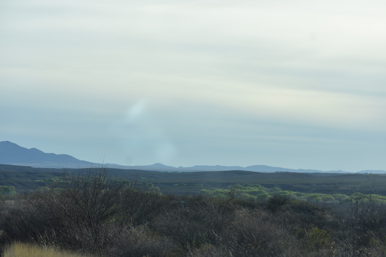
Continuing on AZ-90 we have passed through Sierra Vista
and we can see green trees in the distance. |
 |
| These trees line the San Pedro River |
 |
| on both sides of the highway |
 |
| and can be seen |
 |
| way off into the distance. |
 |
| The San Pedro River |
 |
| We are continue down AZ-90 |
 |
| and there are quite a few Ocotillos |
 |
| up the hill sides. |
 |
We have turned on to AZ-80 and I can still see the Ocotillos
beautiful even without their tiny green leaves. |
 |
| We are driving through the Mule Mountains. |
 |
| Looking towards the mountains we can see the different grasses |
 |
| that cover the ground. |
 |
| Plus, there are manzanita brush |
 |
| juniper, lowland oak |
 |
| and pine trees. |
 |
| All adding to the beauty of the landscape out our window. |
 |
| They cut through a lot of rock to built this highway. |
 |
| Mule Pass Tunnel |
 |
| There is the light at the end of the tunnel. |
 |
We can see buildings below and off to our left as we approach Bisbee.
Off in the distance is their "B" on the mountain peek. |
 |
This guy was not near this sign. In fact, later when we took a ride
up and down a couple of residential streets Tom had stopped to let some
cars pass us and up popped this face right next to my window.
I just thought his look and the sign went together. |
 |
One of two parking areas where we did not find a spot.
Nice art work along the cement retaining wall. |
 |
This is now a museum.
The sculpture on the right was sitting in a beautiful area of very green
grass. It smelled fresh mowed. |
 |
| Mining equipment out in front of above building. |
 |
The picture in the middle was painted on a wall along the street.
The bottom left: there were various types of art on the wall along this
stairway. There was even some framed needlepoint. |
 |
Views down various streets.
The post office is pictured in the upper right. |
 |
Lunch at Bisbee's Table.
"X" marks the spot; we had a window seat. |
 |
| More street views. |
 |
Our last stop was at the Old Bisbee Brewing Company.
Tom had a Classic Pilsner and I had a glass of Salut! |
 |
Our views, including the Jeep, as we enjoyed our beverages
on their upstairs patio.
|
 |
| We had not done a selfie in a while. |
 |
| We then took a ride around Bisbee. |
 |
| A Market named Mimosa deserves to have its picture taken. |
 |
| I love all the lights above the street. |
 |
The Inn at Castle Rock.
This rock is across the road so I would think it is Castle Rock. |
 |
| We stopped on the hill above Bisbee |
 |
| to take a couple more pictures. |
 |
| A view of Castle Rock from above. |
 |
| There is light at this end of the tunnel, also. |
 |
| Headed back north on AZ-80 |
 |
| I just liked the way those trees looked on the mountain top. |
 |
| We continued on AZ-80 towards Tombstone. |
 |
I am sure there is a name for this type of cloud.
I just liked it because it looked like a saucer. |
 |
| The views all along here are beautiful. |
 |
We made a quick stop in Tombstone our last one this adventure.
I mentioned to Tom we needed at least one picture.
He took one of his favorite stop in Tombstone. |
As we left Tombstone we took a ride all the way down Toughnut Street, something we had never done before. Turning right and heading back to Allen Street we saw a sign for Tombstone Monument Ranch and Tombstone Monument. So we decided to take a ride. What we found is pictured below. Once, I started to write the blog I googled "Schieffelin Monument". I am sharing some of the information I found below.
Edward Lawrence Schieffelin was an Indian scout and prospector who discovered silver in the Arizona Territory, which led to the founding of Tombstone, Arizona. He partnered with his brother Al and mining engineer Richard Gird in a handshake deal that produced millions of dollars in wealth for all three men. During the course of Tombstone's mining history, about
US $85,000,000 in silver was produced from its mines.
In his will, he specified that he was to be buried in his prospector's garb with canteen and pick by his side near the site of his first camp. The grave marker was to be a simple stone cairn that prospectors used to mark claims. Tombstone's citizens complied with his wishes, save one; they erected the 25 ft. tall monument which is pictured below.
The plague reads, "ED SCHEFFELIN, DIED MAY 12, 1897, AGED 49 YEARS, 8 MONTHS, A DUTIFUL SON, A FAITHFUL HUSBAND, A KIND BROTHER, A TRUE FRIEND."
(The plague is weathered and you cannot read what is written on it.
West Schieffelin Monument Road is an extension of West Allen Street. The Monument is about 2 miles northwest of town on a dirt road. (Information found on internet.)
 |
The area is fenced in with a small picnic area.
There is a sign in front of the monument but it is so faded you cannot read
what it says.If not for the sign, bottom right, on the fence a person driving
up to it would have no idea what this is. Which is a shame considering it
is the grave of the person credited with the founding of Tombstone. |
 |
| We are now on AZ-82 and headed back to the Quail Ridge RV Resort. |
 |
| In the distance we can again sees trees lining the banks of the San Pedro River. |
 |
| It is hard to tell in these pictures but as the river twist and turns |
 |
| so do the trees. |
 |
| The San Pedro River this time as we go over the bridge on AZ-82 |
We had a nice ride today and enjoyed beautiful views of the mountains and enjoyed our visit to Bisbee. Plus, because we decided to take a ride down a dusty road we learned a little more about the history of Tombstone.
Glad you decided to stop by. We hope you enjoyed the pictures.
If you have time to leave a comment we would enjoy hearing from you.