Thursday, November 10, 2022
Our last day visiting this beautiful National Park and another Blog with picture overload.
Big Bend National Park is located in the southwestern part of Texas along the Texas-Mexico border. Big Bend was established as a national park in June of 1935, preserving the largest tracts of Chihuahuan Desert topography and ecology in the United States.
The park is comprised of 1,252 square miles of land, making it larger than the state of Rhode Island. Within Big Bend National Park are numerous geographical contrasts. These include the vegetation belts along the Rio Grande, the sparseness of the Chihuahuan Desert, the peaks of the Chisos Mountains, and the limestone outcrops of Persimmon Gap and Boquillas Canyon. (from park site)


 |
| Our last time, this visit, entering the Big Bend National Park. |
 |
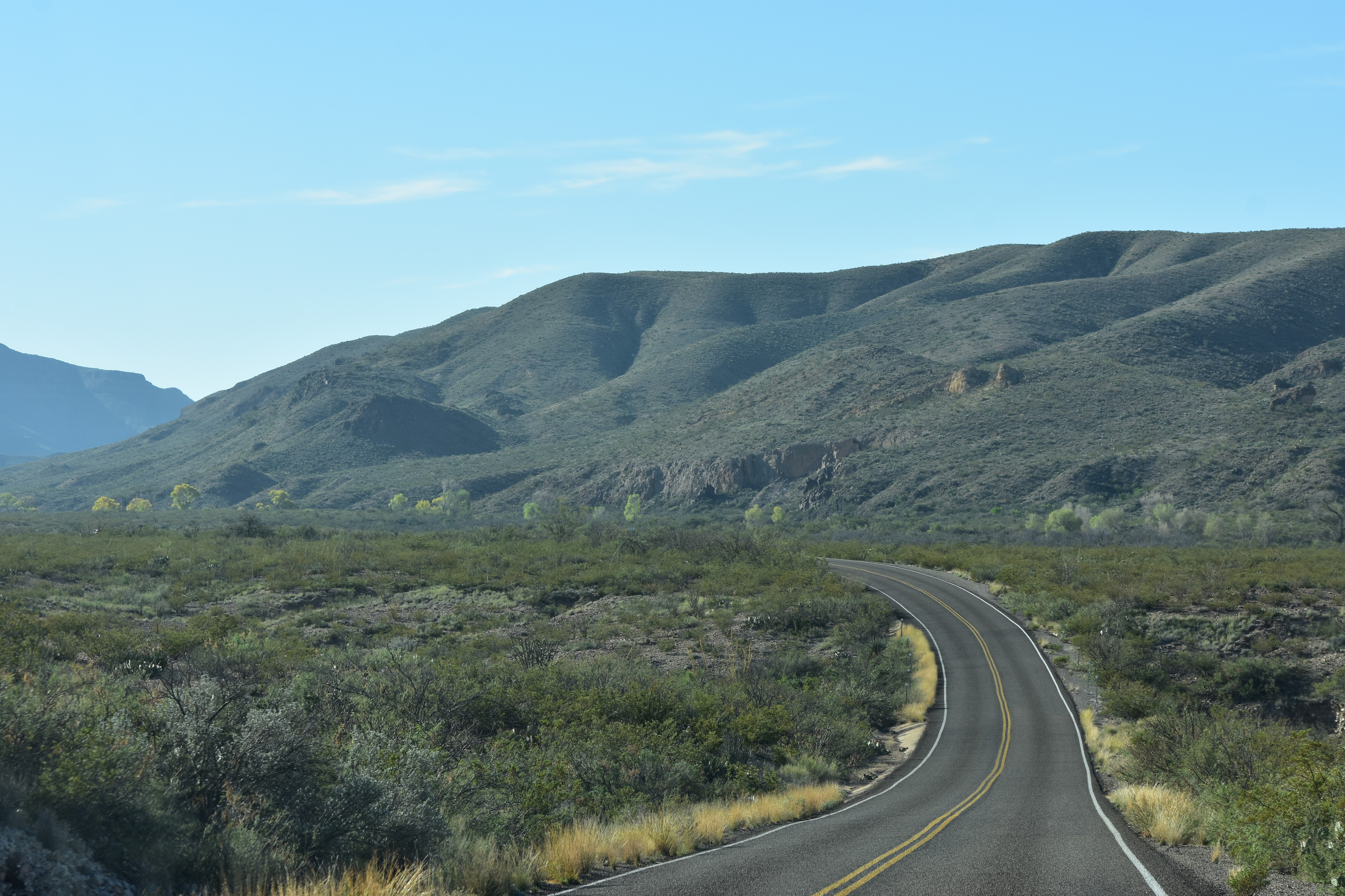
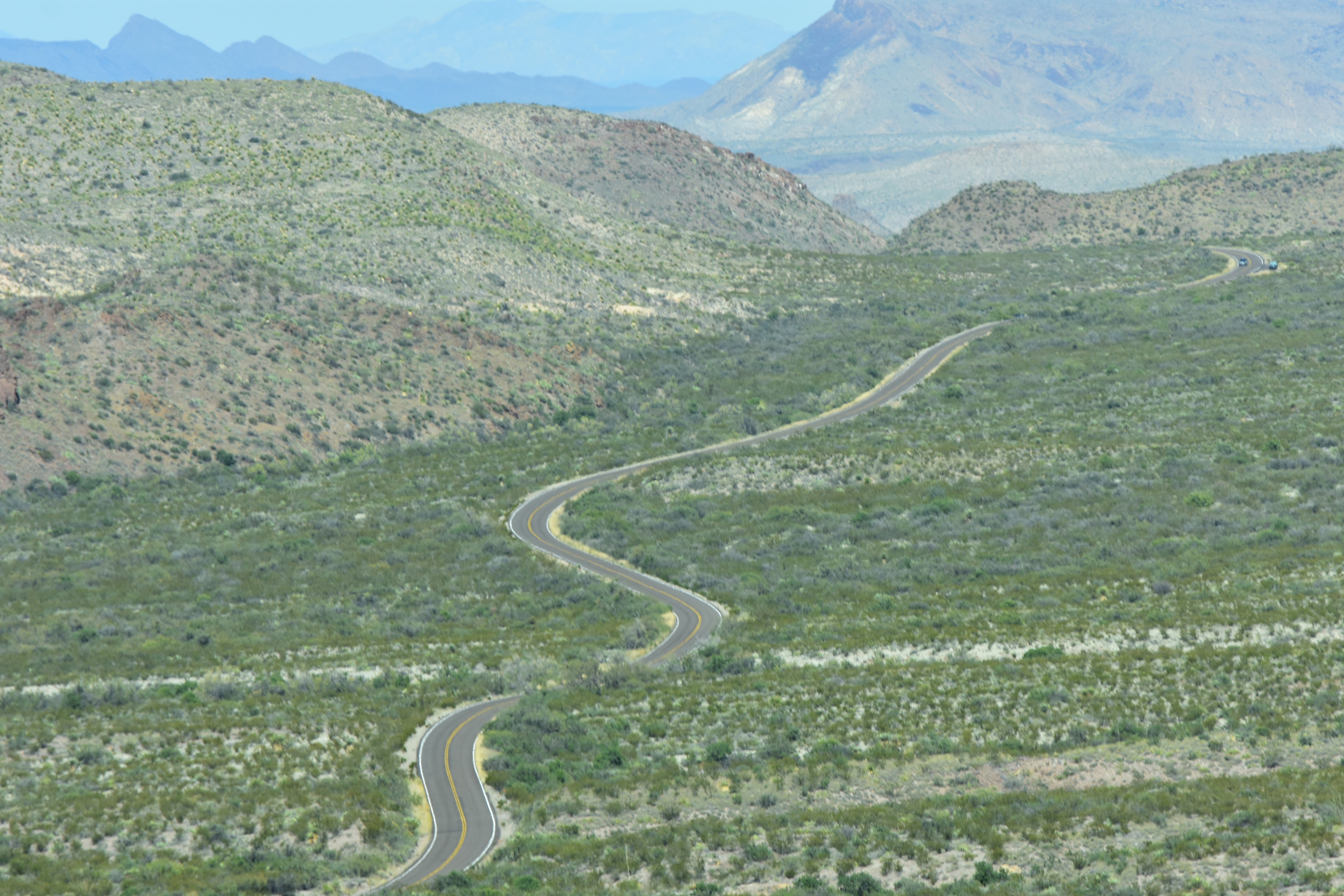
| This is the drive we took today. It took us through more beautiful mountain scenery and to the Santa Elena Canyon. |


 |
| We are headed towards the "split" in the mountains we can see in the distance. |


 |
| We actually stopped here on our way back. The decisions was to drive straight through to the Santa Elena Canyon then make some stops on the way back. |


 |
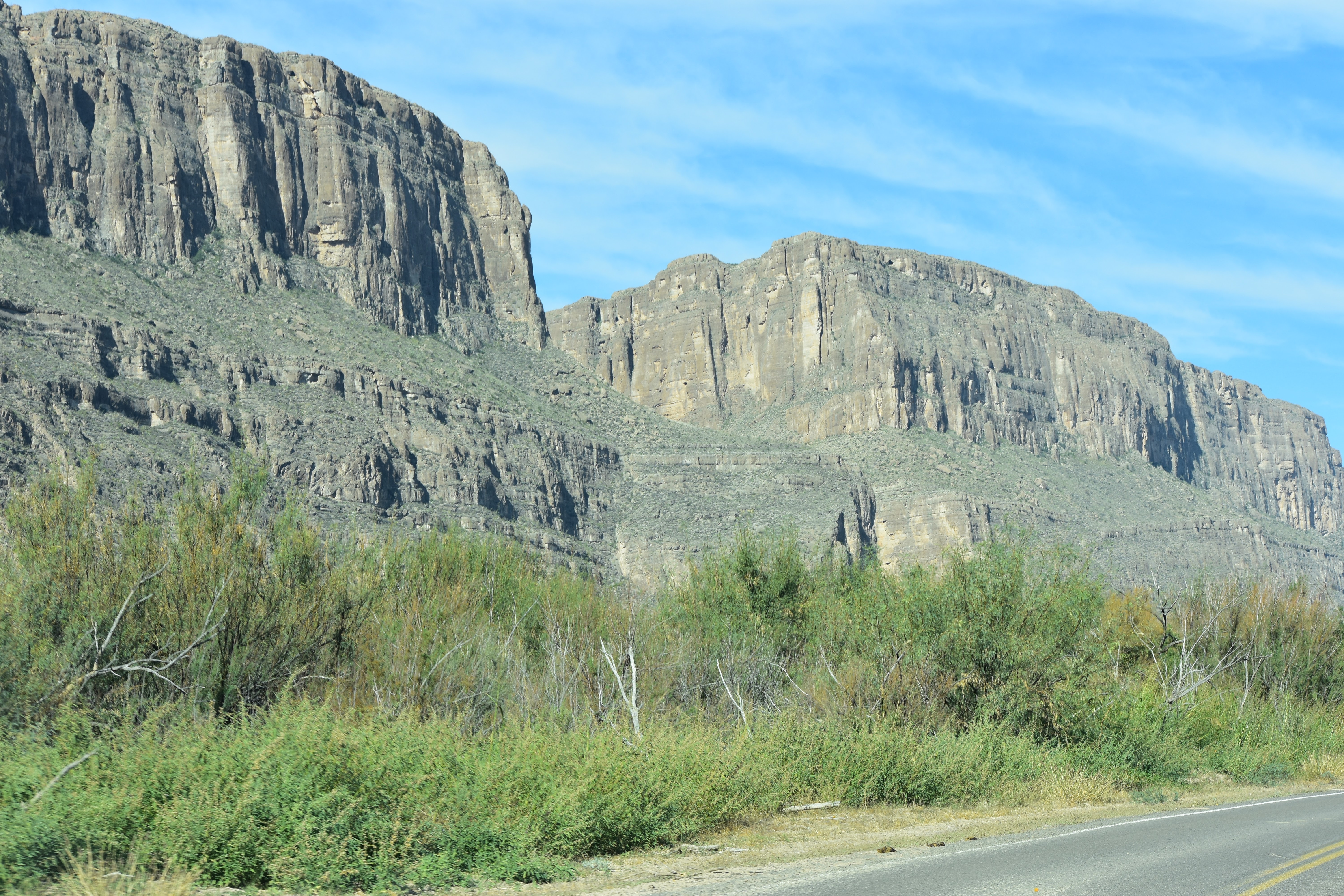
| The Santa Elena Canyon is just ahead. |
The paper they hand you as you enter a National Park filled with information about the park and what to do and see describes this hike as: Easy This trail crosses Terlingua Creek (usually dry) and gradually climbs up to an overlook before dropping to the river bank. Trail had some steep steps and can be very hot midday.
 |
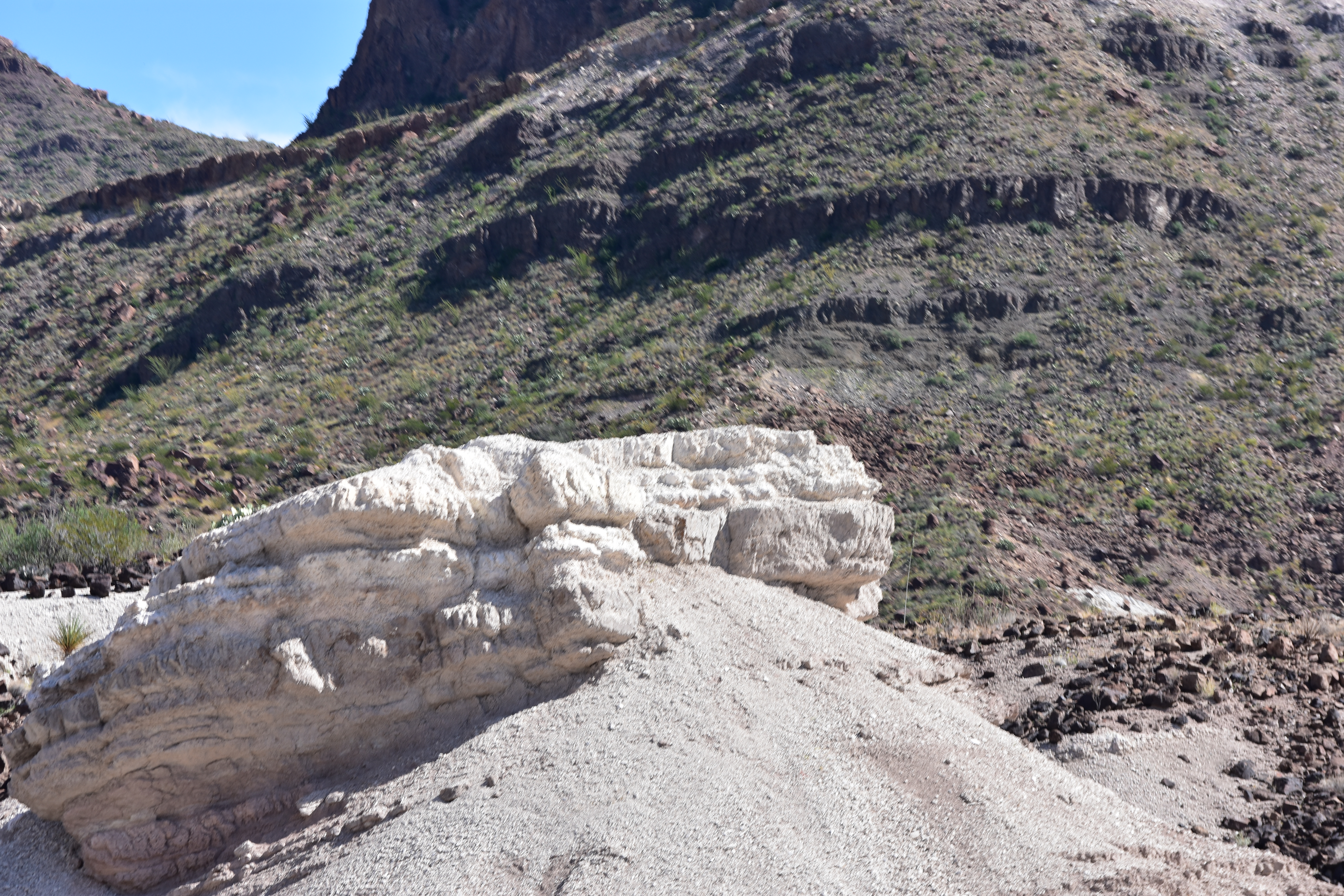
| The sign mentions a 80 foot elevation gain but we thought, we can do this so we kept going. |

 |
| This is where we stopped. If you look closely you can see some people on the other side. I was watching instead of taking a picture as they walked across in chest deep water. |
 |
| Tom took a walk to another crossing about a block up river where is it was dry but there was what he called a steep bank to get up on the other side. He said, no way. |
 |
| Never the less we are glad we walked this far. It was beautiful to see even just this much. |

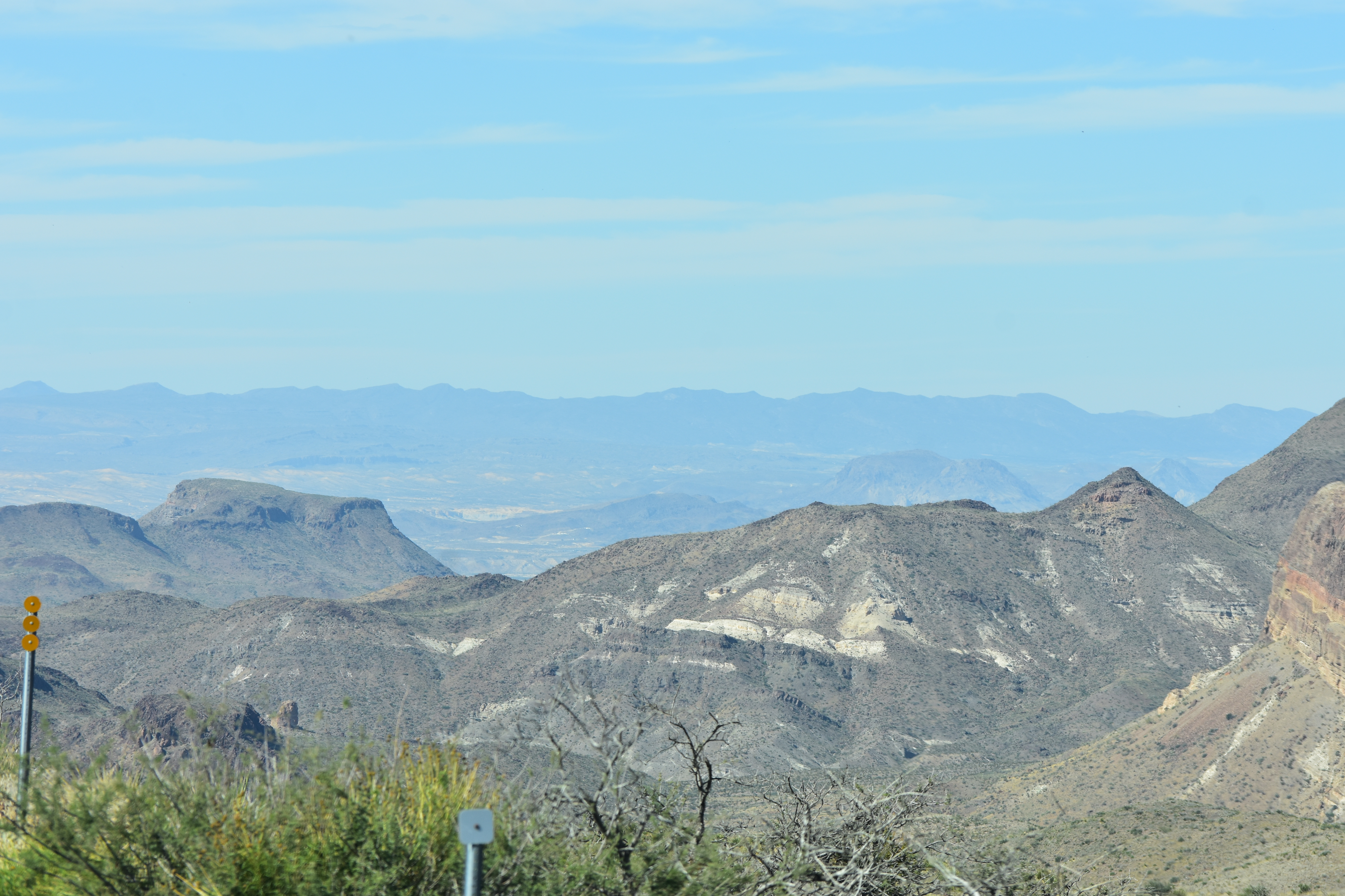
After walking to the Jeep we back tracked to the Santa Elena Overlook.


 |
| This was today's |
 |
| lunch view. |
 |
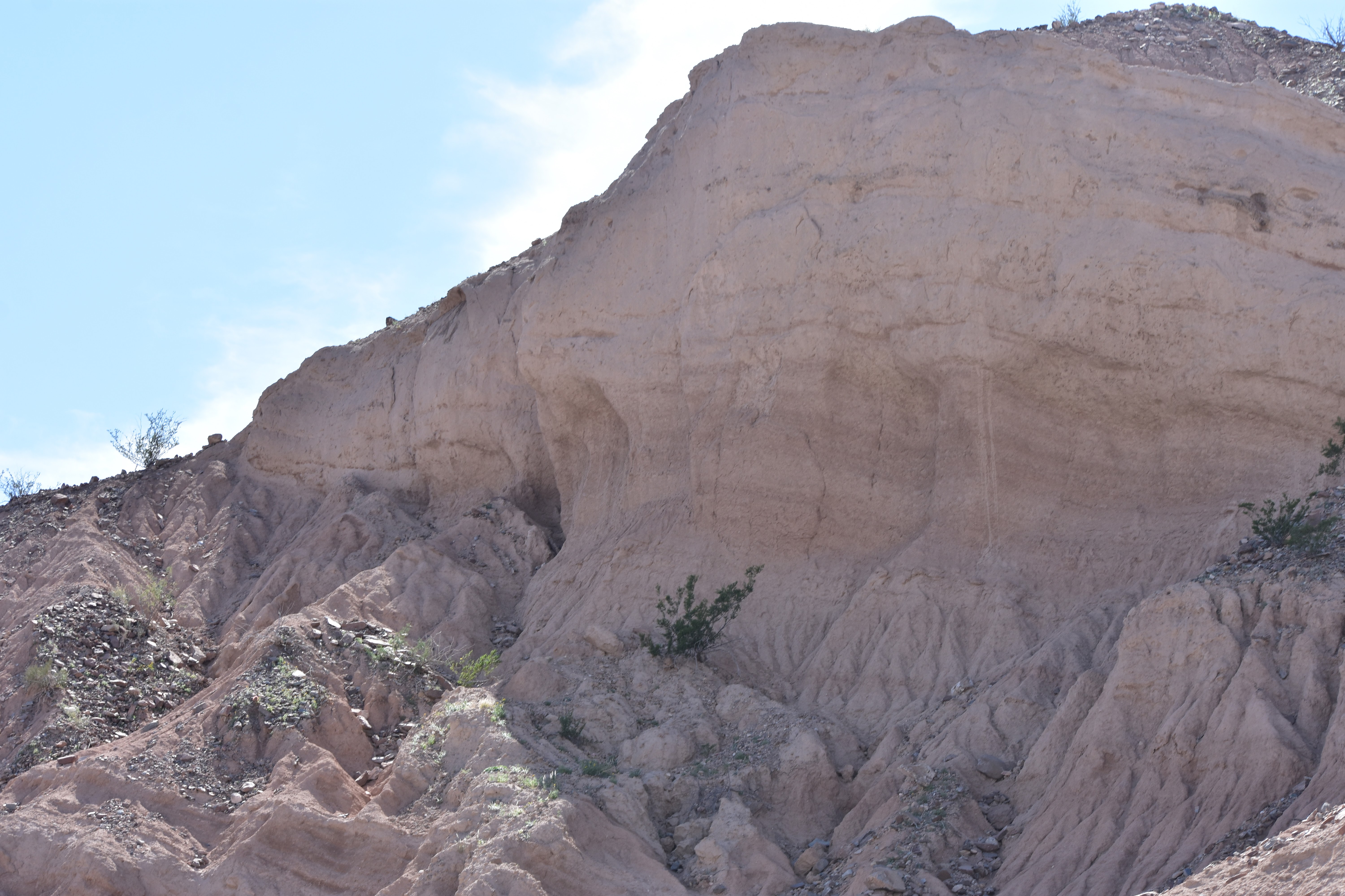
| After lunch we drove a few miles down the Old Maverick Road. Then decided to turn around and go back the way we came. There were a couple of stops we wanted to make. We will save this ride for another time. |

 |
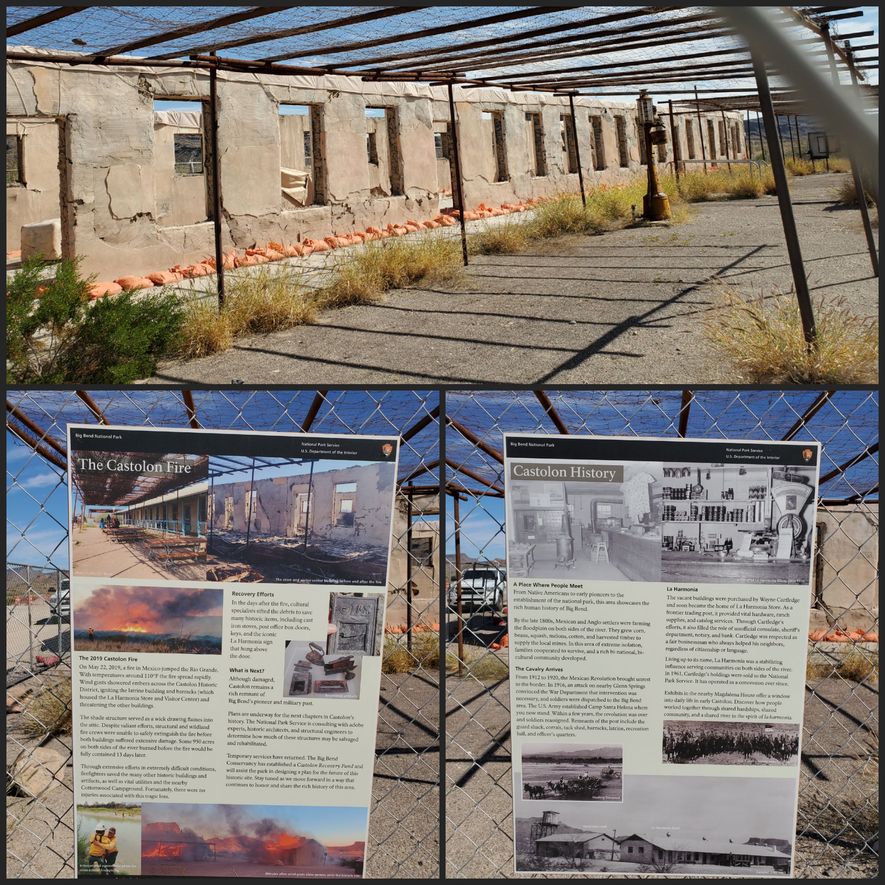
| You can still see evidence of the 2019 fire. |


 |
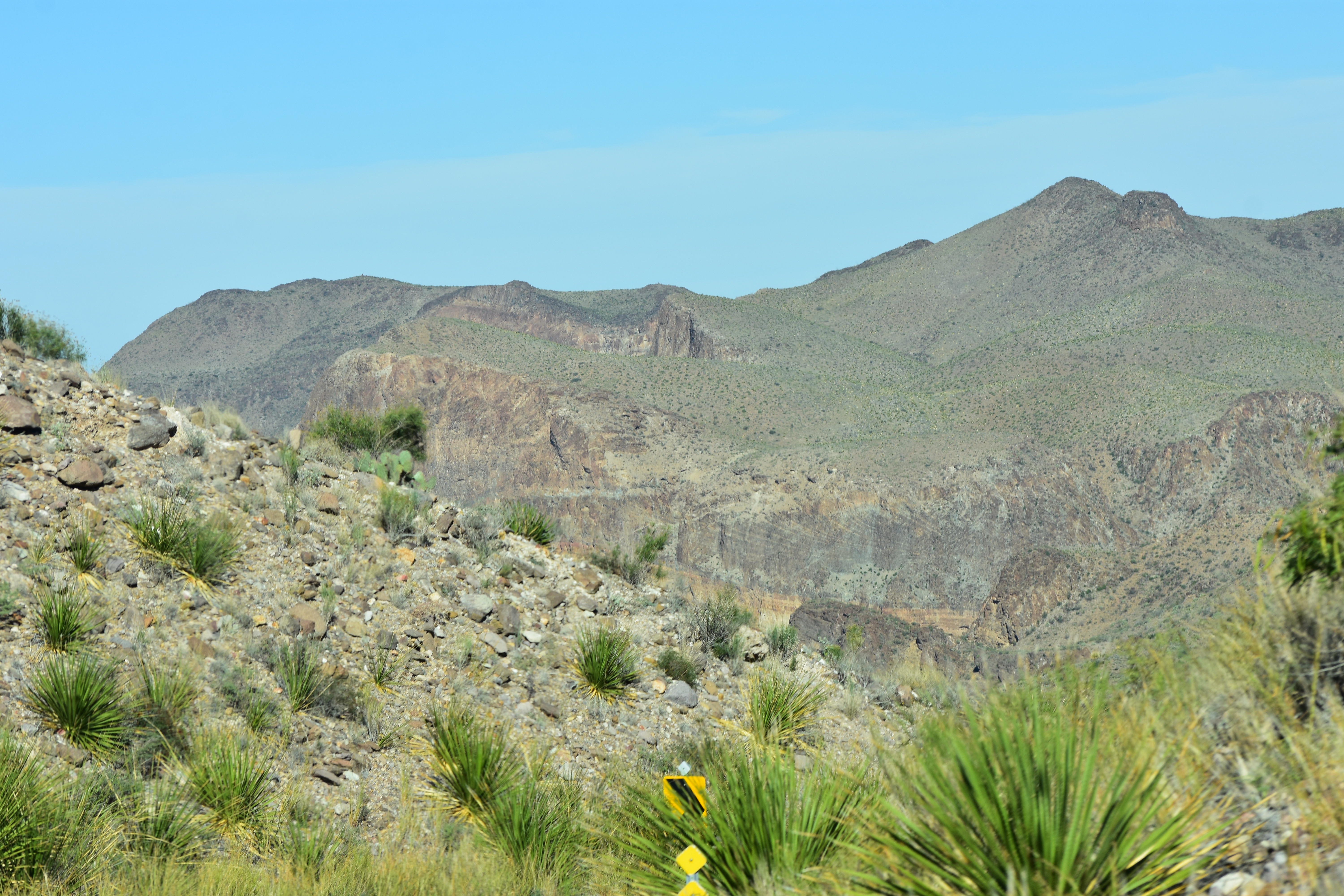
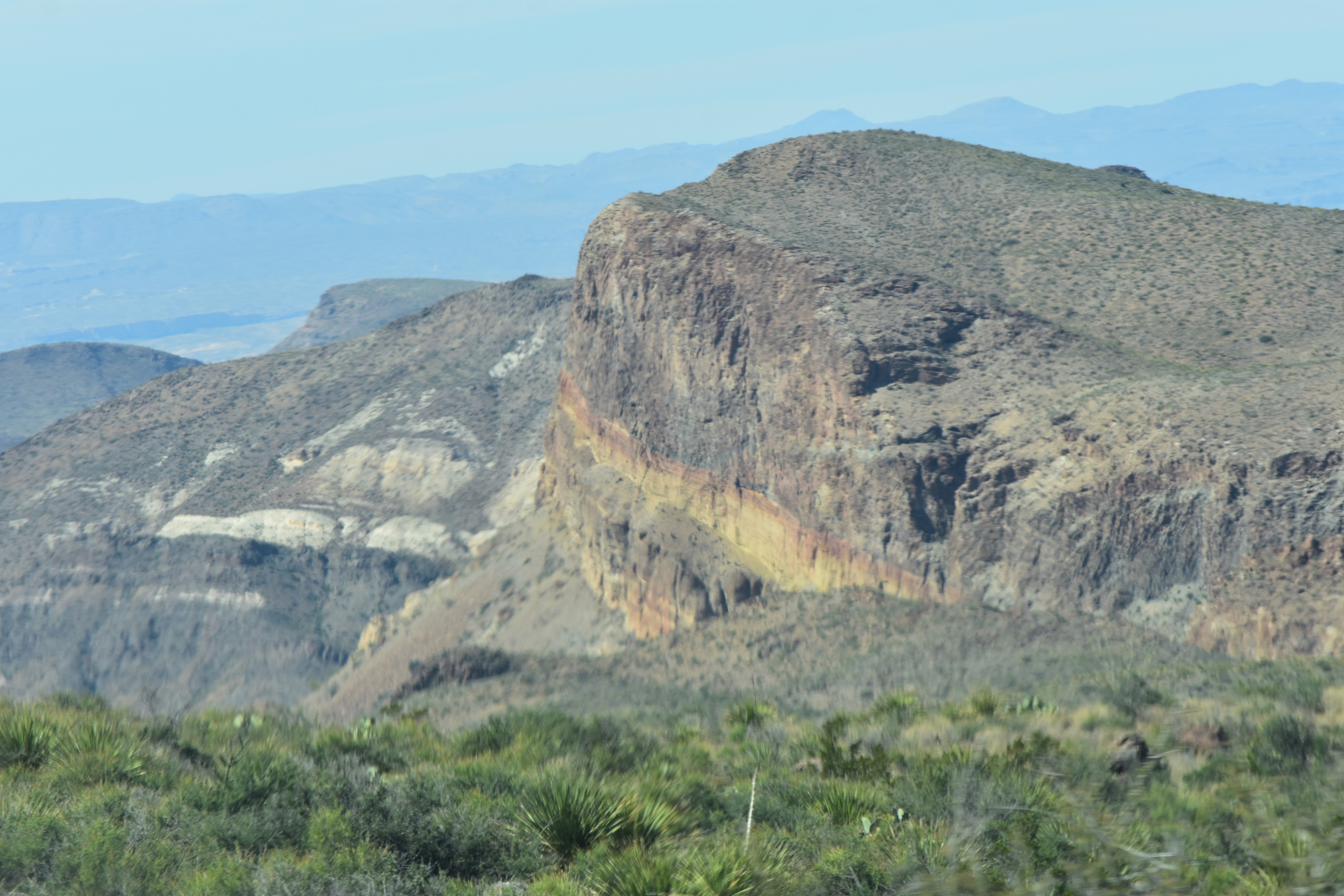
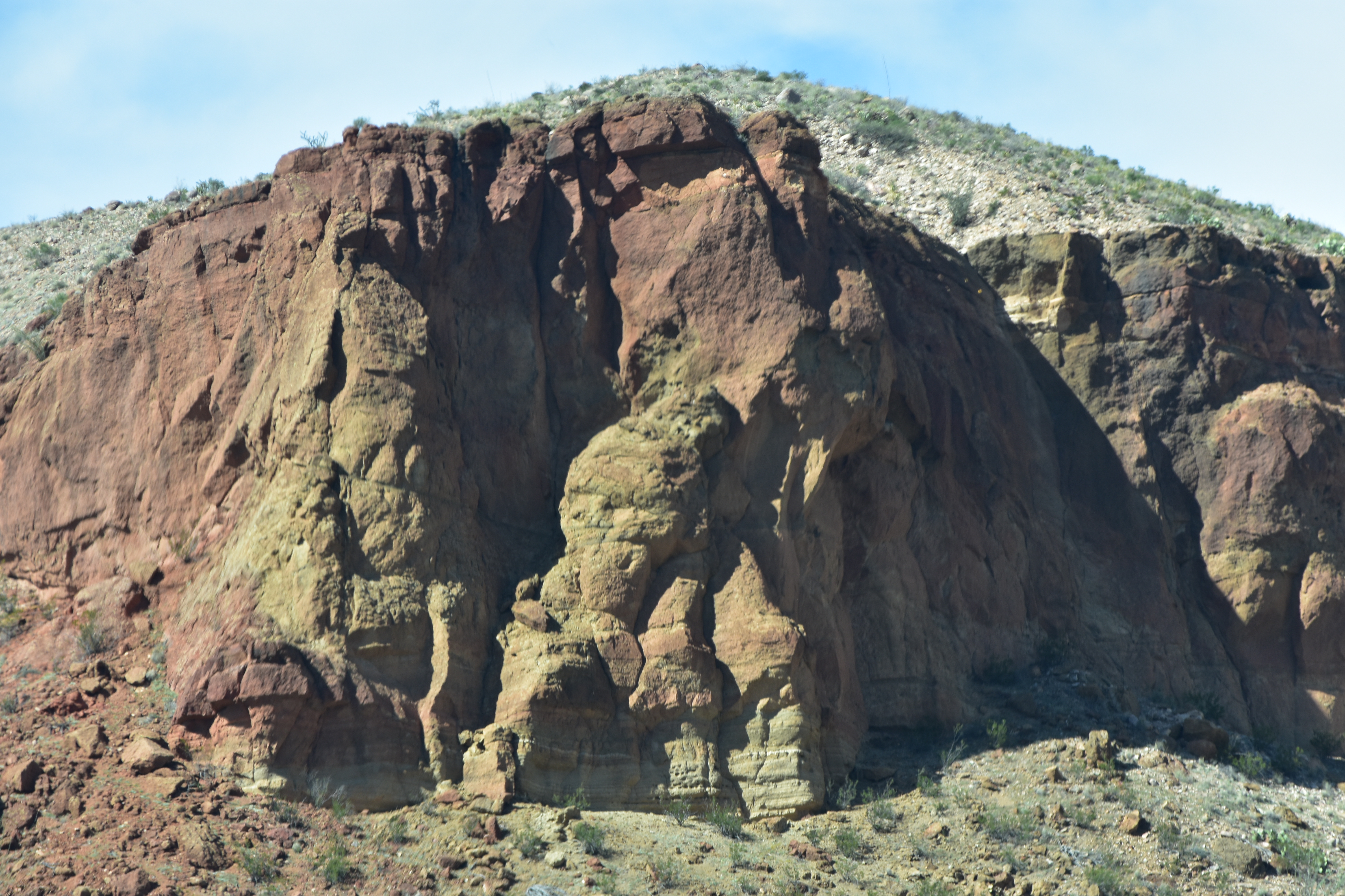
| Going back by the Cerro Castellan |

 |
| I am pretty sure those are the tips of the Mule Ears. |

 |
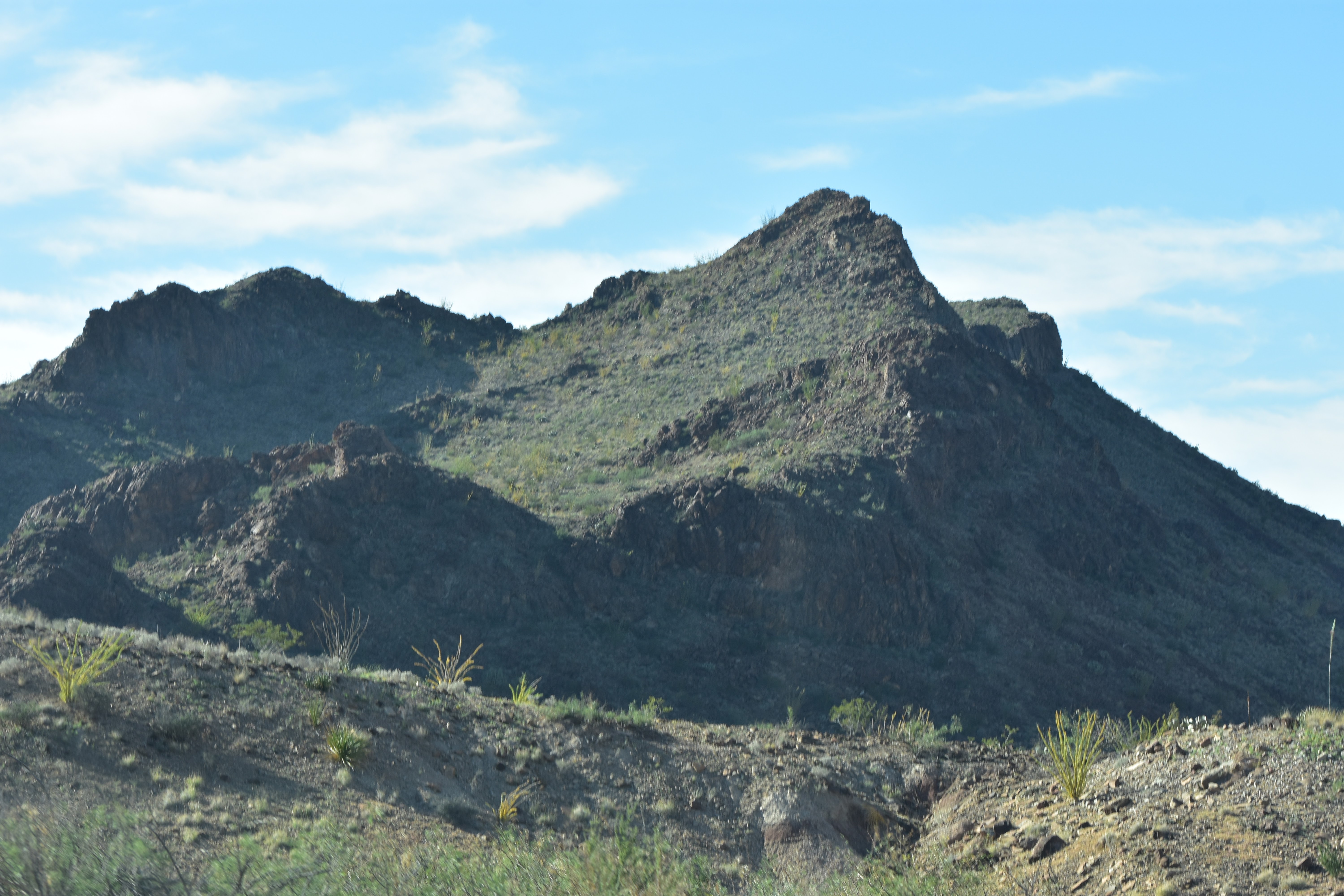
| Mules Ears |


 |
| Turned here for Mules Ears View Point. |
 |
| Guessing there may have been information here at one point. |
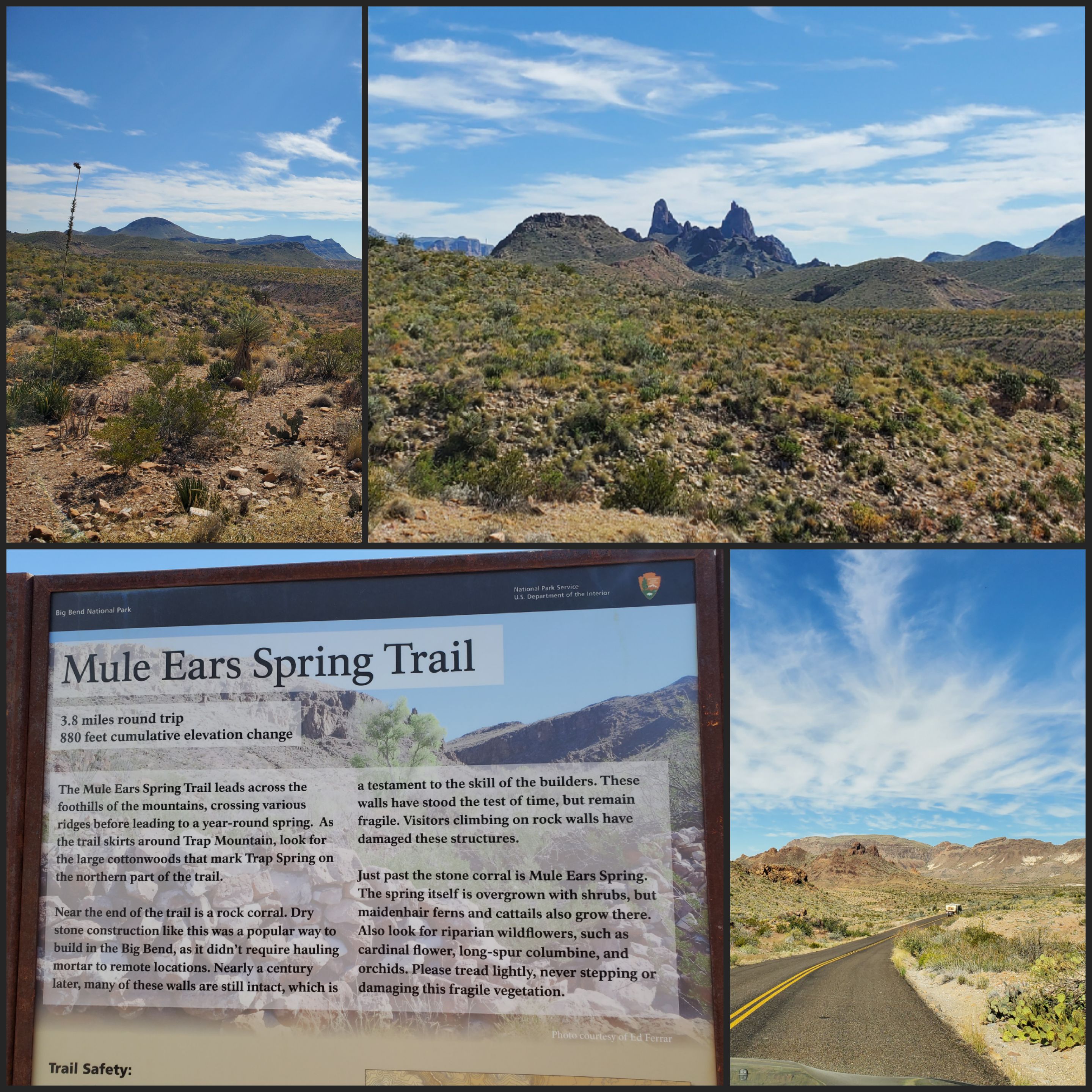 |
| The only information was at the trailhead. |
 |
| Leaving Mules Ears View Point. Same view just closer. |


 |
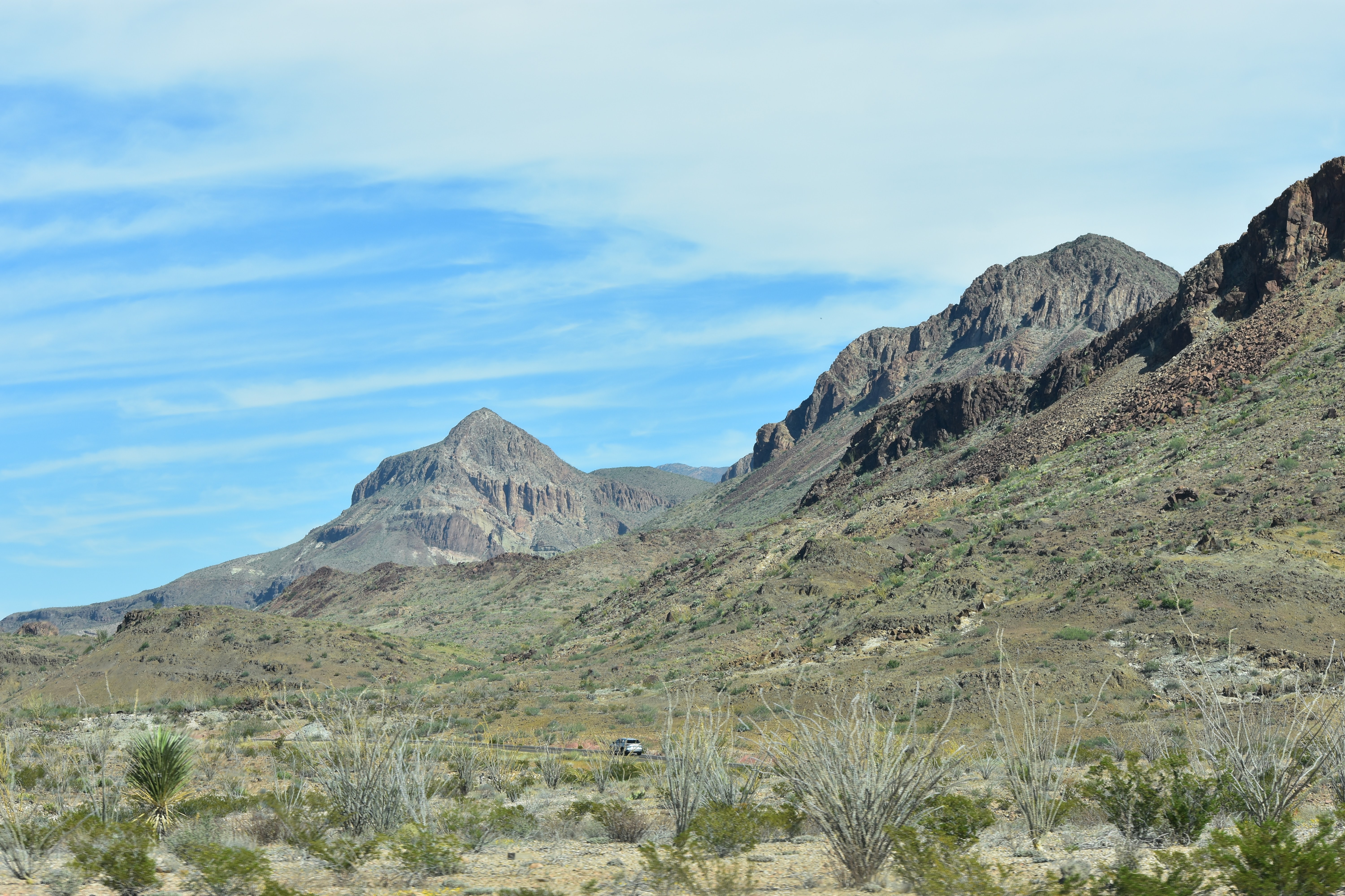
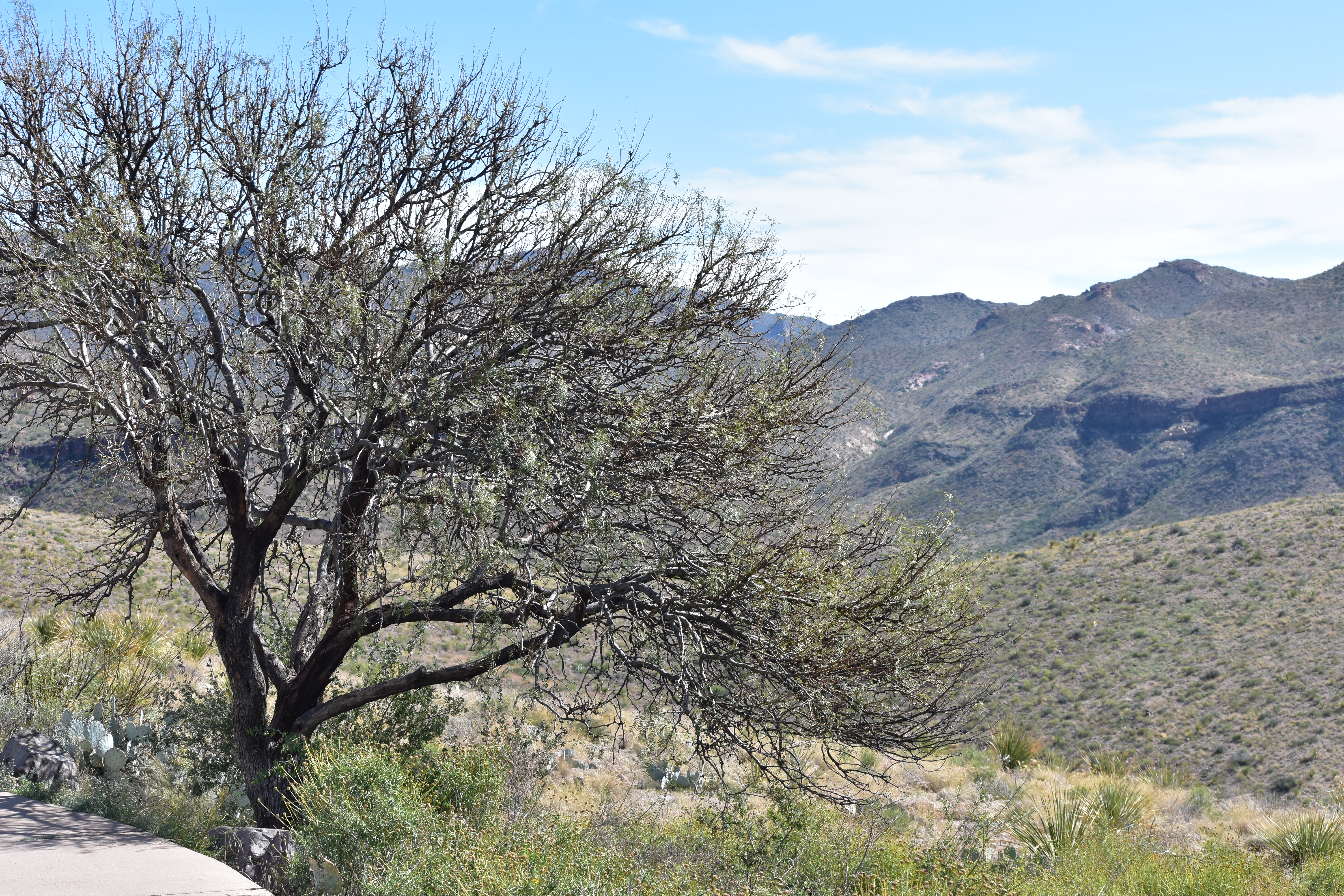
| Continuing on our next stop was at the Sotel Vista. |

 |
| The views in all the directions were beautiful |
 |
| and seemed to go on forever. |


 |
| One last picture and we headed back to the Ros Maxwell Scenic Drive. |


 |
| Leaving Big Bend National Park. |

Today was a good day. Tomorrow we will continue West; it is time to move on.

The views are stunning. I love the ribbon of highway through the valley, very pretty. The colours are amazing, so varied. The Mule Ears is a very apt name.
ReplyDeleteDeb
I had taken several pictures of the Mule Ears along the way; when I saw what they were called I thought makes sense...:)
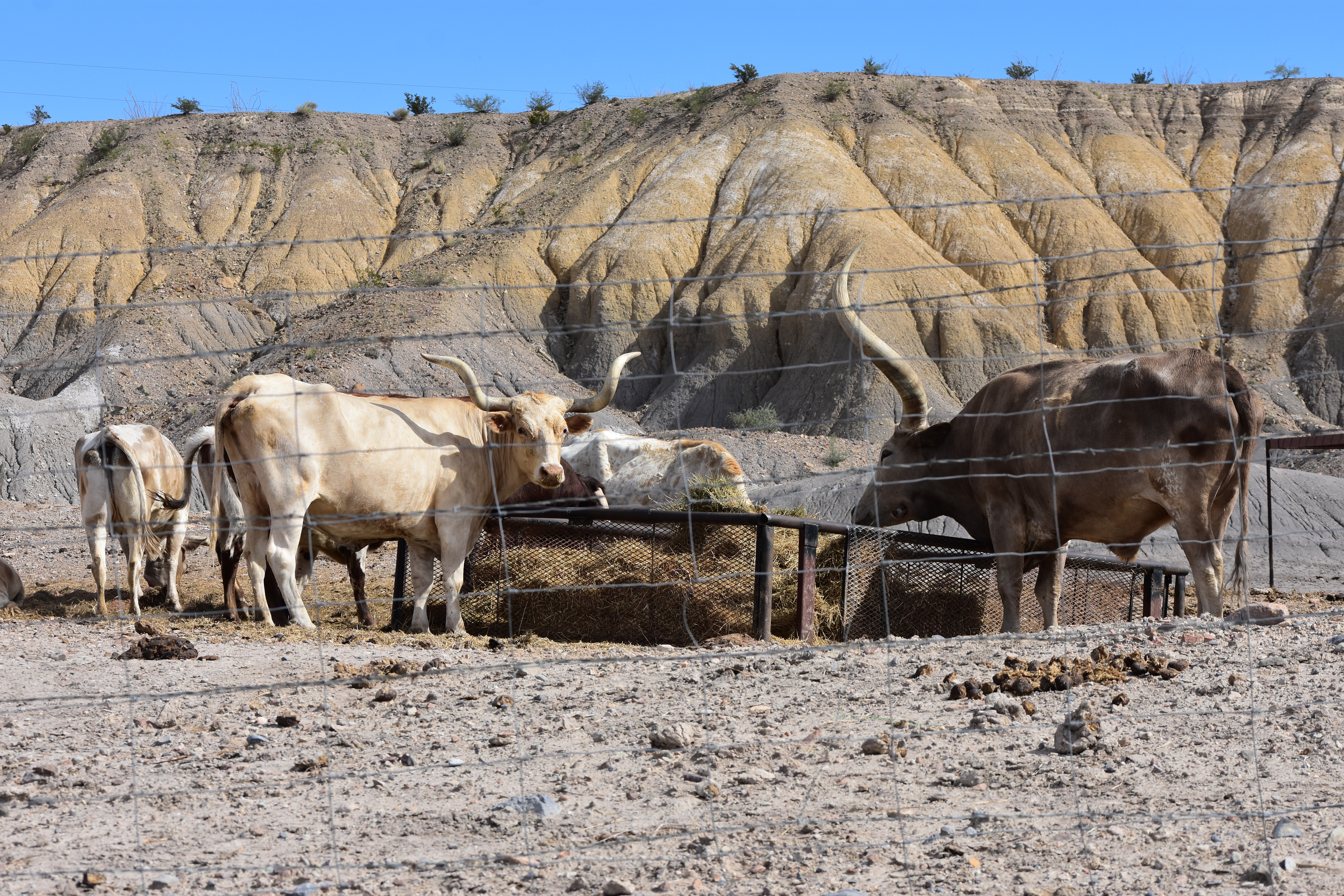
DeleteI agee with Deb. That is a beautiful park. It is a huge place with lots to see. Hope I make it there. Now those were Longhorns!
ReplyDeleteDoug Laning
DeleteYes, finally Longhorns next to the road...lol It is a beautiful park for sure.
ReplyDelete